Catalog Archive
Auction 145, Lot 332

"Map of Routes to the Principal Mining Districts in the Central States of Mexico", Hall, Sidney
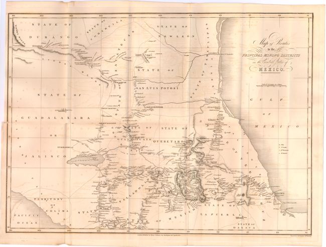
Subject: Mexico

Period: 1828 (dated)

Publication:

Color: Black & White

Size:
21.8 x 15.8 inches
55.4 x 40.1 cm
Download High Resolution Image
(or just click on image to launch the Zoom viewer)

Crisp engraving of central Mexico from the Sierra Madre mountain range south to Mexico City and Oaxaca. The map depicts the road network connecting various mining areas including Zacatecas, Guanajuato, Angangeo and Huetamo as well as rivers, lakes and topography. Decorated with fancy title and distance scale.

References:

Condition: B

Issued folding with offsetting, a few splits at fold intersections, and a binding trim and associated binding tear that just passes the neatline at left. There is one small abrasion northeast of Lake Chapala.

Estimate: $150 - $200

Sold for: $75

Closed on 6/12/2013

Archived