Catalog Archive
Auction 145, Lot 305

"A New Map of Virginia with its Canals, Roads & Distances from Place to Place, along the Stage & Steam Boat Routes", Tanner, Henry Schenck
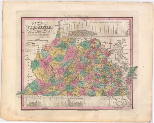
Subject: Virginia

Period: 1836 (dated)

Publication: Universal Atlas

Color: Hand Color

Size:
13 x 10.7 inches
33 x 27.2 cm
Download High Resolution Image
(or just click on image to launch the Zoom viewer)

An attractive map with nice detail of the counties, cities, roads and railways. At top is a profile of the Chesapeake & Ohio Canal. A table at bottom lists Steam Boat Routes - Richmond to Norfolk, Richmond to Washington, Richmond to Baltimore, Wheeling to Pittsburgh, and Wheeling to Cincinnati. The legend identifies canals, railroads, capital cities, leading roads plus distance along roads in miles. Fancy titling.

References:

Condition: A

Original color with wide, original margins and some minor soiling confined to the blank margins.

Estimate: $250 - $325

Sold for: $210

Closed on 6/12/2013

Archived