Catalog Archive
Auction 145, Lot 291
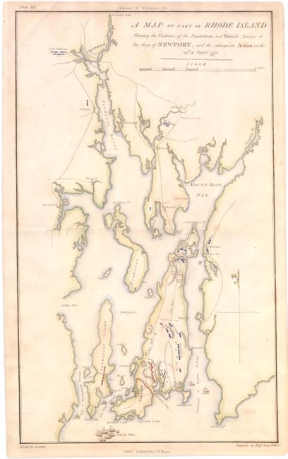
"A Map of Part of Rhode Island Shewing the Position of the American and British Armies at the Siege of Newport, and the Subsequent Action on the 29th of August 1778", Phillips, Richard (Sir)
Subject: Rhode Island
Period: 1806 (circa)
Publication: Marshall's Life of Washington
Color: Hand Color
Size:
10 x 16.8 inches
25.4 x 42.7 cm
Download High Resolution Image
(or just click on image to launch the Zoom viewer)
(or just click on image to launch the Zoom viewer)