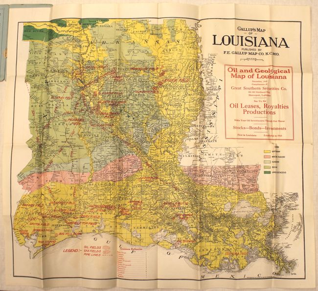
"Gallup's Map of Louisiana", Gallup, F.E.
Subject: Louisiana
Period: 1919 (dated)
Publication:
Color: Printed Color
Size:
25.3 x 22 inches
64.3 x 55.9 cm
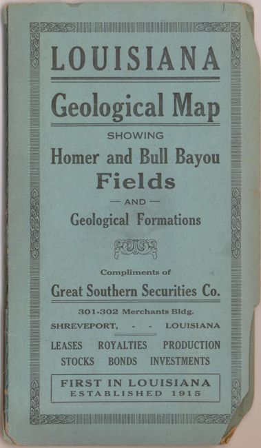
This rare geological map of Louisiana focuses on the oil and gas industry. It covers all of Louisiana and portions of eastern Texas, including Beaumont and Houston, and southern Arkansas with five different geological units identified. Numerous oil and gas fields are located, many connected by named pipelines running to refineries in Shreveport, New Orleans, Baton Rouge with 10 other existing and proposed localities listed at the bottom of the map. Drawn with amazing detail on a scale of about 15 miles per inch, the map locates towns, villages, watershed, counties and county seats. Folds into blue paper wrappers. A seldom seen map from the early years of the Gulf Coast oil boom.
References:
Condition: B
Issued folding on bright, clean paper with several splits along fold intersections and a 2" tear at top that has been closed on verso with archival tape. Wrappers are chipped at bottom with a long split along the hinge.