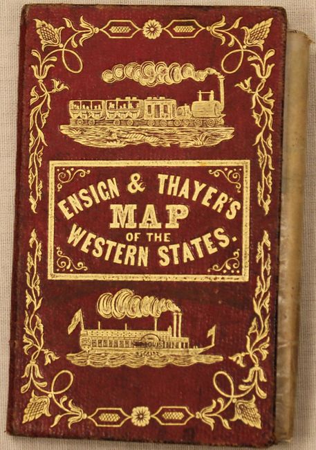
Catalog Archive
Auction 145, Lot 209

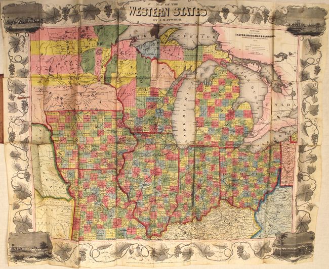
"Map of the Western States", Atwood, J. M.

Subject: Central United States

Period: 1853 (dated)

Publication:

Color: Hand Color

Size:
22 x 17.8 inches
55.9 x 45.2 cm
Download High Resolution Image
(or just click on image to launch the Zoom viewer)

This uncommon pocket map is bound into "Ensign & Thayer's Travellers' Guide through the States of Ohio, Michigan, Indiana, Missouri, Iowa, and Wisconsin ...". The lithographed map was published in New York by Thayer, Bridgman & Fanning, 156 William St., Covern of Ann. It is surrounded by wide grapevine border that incorporates vignette views of Chicago, St. Louis, Cincinnati, and Detroit at the corners. The red covers feature embossed gilt titling, fancy tooling and illustrations of an locomotive and steam ship. Does not include an index.

References:

Condition: C+

Issued folding with bright original color. There are numerous fold separations primarily along one fold that are partially closed on verso with cello tape and a 1" tear adjacent to where the map is glued to the back cover. Light soiling with a stain in Lake Superior, just below the title. Covers show light to moderate wear.

Estimate: $400 - $600

Unsold

Closed on 6/12/2013

Archived