Catalog Archive
Auction 145, Lot 201

"Mississippi Territory", Arrowsmith & Lewis

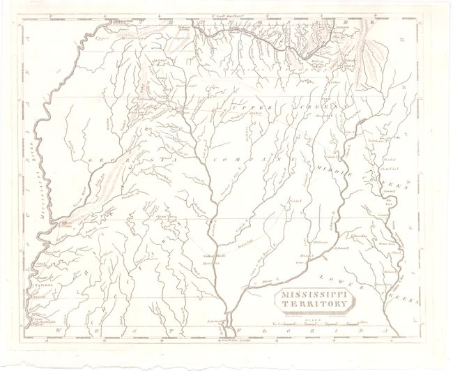
Subject: Southern United States, Mississippi

Period: 1804 (published)

Publication: New & Elegant General Atlas…

Color: Black & White

Size:
9.7 x 7.8 inches
24.6 x 19.8 cm
Download High Resolution Image
(or just click on image to launch the Zoom viewer)

This is a small, but significant map of Mississippi Territory, covering the region of present-day Mississippi and Alabama. At the extreme northwest corner of the map is Fort Pickering on Chickasaw Bluff, near the future site of Memphis. Just below is a region labeled Upper Mississippi Company, and east of there, the Tennessee Company takes in the Tennessee River watershed in northern Alabama. Georgia Company occupies the middle of the map. Numerous Indian tribes and villages are located and Indian Paths, including the Natchez Trace are shown throughout. There are a number of forts located including Ft. Stoddert on the Mobile River, Ft. Adams on the Mississippi, and Ft. McHenry at Walnut Hills, later the site of Vicksburg. Drawn by Samuel Lewis and engraved by D. Fairman.

References: Phillips (Atlases) #702-54.

Condition: A

There is one small paper flaw in image at left and one minute pin hole in title cartouche.

Estimate: $300 - $400

Sold for: $220

Closed on 6/12/2013

Archived