"[Lot of 4] Johnson's New England [and] Johnson's Maine [and] Johnson's Vermont and New Hampshire [and] Johnson's Massachusetts, Connecticut and Rhode Island", Johnson, A. J.
Subject: New England
Period: 1860-67 (circa)
Publication:
Color: Hand Color
Size:
17 x 24 inches
43.2 x 61 cm
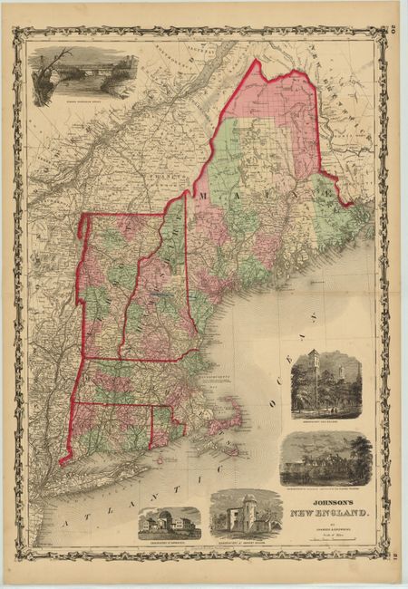
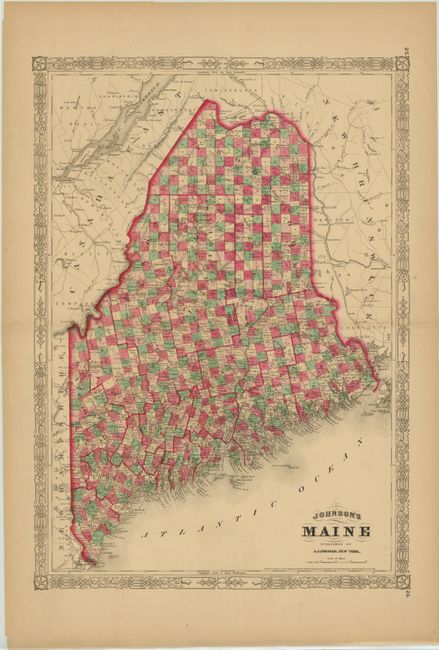
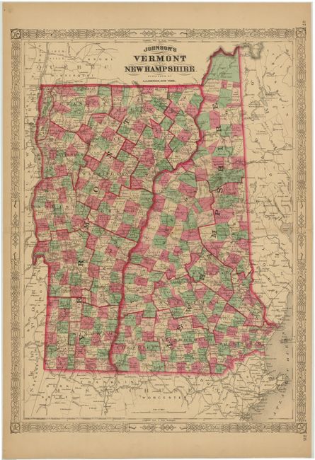
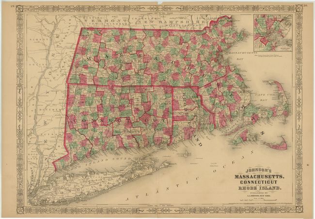
Attractive lot of maps covering New England from A.J. Johnson. Each is very detailed, showing county boundaries, numerous place names, roads and railroads. Surrounded by decorative borders with fancy titling.
A. Johnson's New England, circa 1860. Published by Johnson & Browning.
B. Johnson's Maine, dated 1866.
C. Johnson's Vermont and New Hampshire, dated 1867.
D. Johnson's Massachusetts, Connecticut and Rhode Island, dated 1864.
References:
Condition: B+
Original color with light toning along the edges of the sheets and a few short centerfold separations and edge tears confined to the blank margins. The MA/CT/RI map has a centerfold separation at top that extends 1" into the image which has been closed on verso with archival tape, and the map of New England has two small ink marks near the centerfold.