Catalog Archive
Auction 145, Lot 146

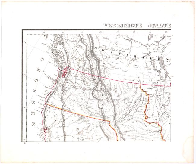
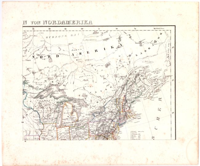
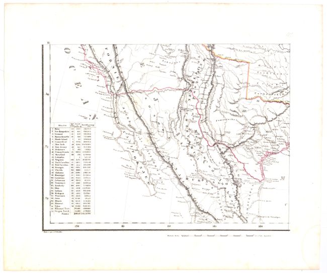
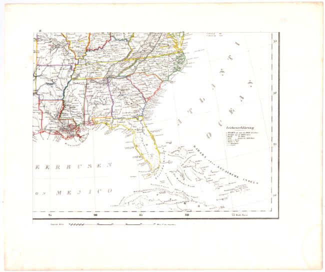
"[On 4 sheets] Vereinigte Staaten von Nordamerika", Flemming, Carl

Subject: United States

Period: 1845 (circa)

Publication:

Color: Hand Color

Size:
13.6 x 10.2 inches
34.5 x 25.9 cm
Download High Resolution Image
(or just click on image to launch the Zoom viewer)

This large, detailed map of the United States extends to include part of Canada and Mexico, although information is focused on the United States. The map provided an excellent view of the American West with several large territories encompassing the entire west, shown to be mostly the domain of numerous Indian nations. Jowa extends from Missouri and Wisconsin stretching to the Missouri River. Tejas, Missouri Territory and Oregon Territory encompass the remainder of the west. Although Texas is listed as a state, only a portion of its border is colored, leaving the western extent undefined. The border with Mexico is shown along the Gila River, pre-Gadsden Purchase. The map depicts towns, missions, forts, railroads, and canals, and includes a list of the highest mountain peaks. A table lists the states and territories, with populations in 1840, number of counties, and size. Lithography by Handtke. Printed on four separate sheets, as issued. If joined the map would measure approximately 27 x 20".

References:

Condition: B+

All sheets have original outline color with a damp stain confined to bottom blank margin. Three of the four sheets are in "A" condition and are clean and bright with a couple of tiny, insignificant spots. The northeast sheet is in "B" condition with light, scattered foxing.

Estimate: $300 - $375

Unsold

Closed on 6/12/2013

Archived