Catalog Archive
Auction 144, Lot 54

"Gray's New Map of the United States", Gray, Frank

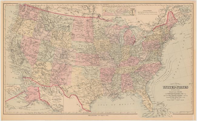
Subject: United States

Period: 1879 (dated)

Publication:

Color: Hand Color

Size:
26.8 x 16.2 inches
68.1 x 41.1 cm
Download High Resolution Image
(or just click on image to launch the Zoom viewer)

Attractive map of the United States showing the railroad network with each state/territory individually hand colored. All of the states and territories have today’s borders with the exception of the Dakotas. Includes an inset of Alaska at bottom, and an interesting inset at top demonstrating the westward expansion of the population from 1790-1880.

References:

Condition: B+

Overall clean with very light toning. Remargined at left and right.

Estimate: $80 - $100

Sold for: $60

Closed on 4/3/2013

Archived