Catalog Archive
Auction 144, Lot 242

"Japan", Rand McNally & Co.
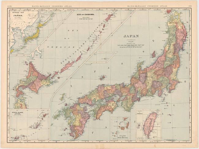
Subject: Japan

Period: 1904 (dated)

Publication: Indexed Atlas of the World

Color: Printed Color

Size:
26 x 19 inches
66 x 48.3 cm
Download High Resolution Image
(or just click on image to launch the Zoom viewer)

This large, colorful map of Japan shows the island divided into its prefectures and is filled with place names and topographical detail. Five inset maps surround the main map of Japan: Island of Formosa; South Extension of Osumi Province; Ryukyu Islands. (Loo-Choo); Ezo and Chishima; and Outline Map of Japan. Statistical information is provided on verso.

References:

Condition: A

A few small, unobtrusive spots and some short, archivally repaired tears in blank margins.

Estimate: $90 - $110

Sold for: $55

Closed on 4/3/2013

Archived