Catalog Archive
Auction 144, Lot 198

"Partie Septentrionale du Royaume de Naples", Robert de Vaugondy, Gilles

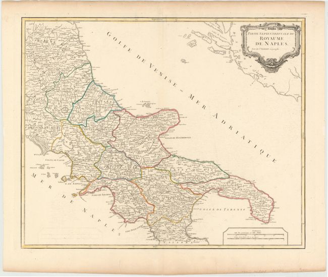
Subject: Southern Italy

Period: 1755 (circa)

Publication: Atlas Universel

Color: Hand Color

Size:
23.318 x 18.9 inches
59.2 x 48 cm
Download High Resolution Image
(or just click on image to launch the Zoom viewer)

Very handsome map of the Royaume de Naples shows Italy's Adriatic Sea coast from Ancona south to Pescaro and the Isle de Tremin off the coast, and the Golfe De Manfredonia, Brindisi, Otrante and the Gulf of Taranto. Includes Italy's southwest coast from the Golfe De Gaete, and the Gulf of Naples depicting the town and harbor of Naples. Below that region the map shows Salerno and the Gulf of Salerno and the coastline to the Gulf of Policastro. The map is dotted with hundreds of place names of cities, towns and villages, along with mountain ranges and rivers and boundary lines of Divisions and Ecclestical Departments. The map was drawn and engraved under the direction of Gilles Robert de Vaugondy (1688-1766) one of France's foremost cartographers and engravers.

References: Pedley #360.

Condition: A

Original color on watermarked paper with minor offsetting and a few short tears confined to blank margins.

Estimate: $200 - $240

Sold for: $140

Closed on 4/3/2013

Archived