Catalog Archive
Auction 144, Lot 195

"Etruriae Latii Umbriae Piceni Sabinorum et Marsorum Vetus et Nova Descriptio", Cluver, Philipp

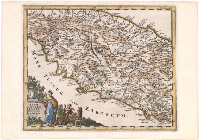
Subject: Central Italy

Period: 1729 (circa)

Publication: Introductionis in Universam Geographicam

Color: Hand Color

Size:
10 x 8 inches
25.4 x 20.3 cm
Download High Resolution Image
(or just click on image to launch the Zoom viewer)

This is an attractive map of central Italy, from Tuscany on the west coast to Umbria on the east coast. The map is centered approximately on Perugia and Lake Trasimeno, with numerous cities, rivers, mountains, and political boundaries shown in nice detail. It is adorned with an allegorical title cartouche depicting a queen, a peacock, a putto with a cornucopia, and Romulus and Remus suckling on the she-wolf.

References: Shirley (BL Atlases) T.CLUV-8b.

Condition: A

Watermarked paper with attractive color and a hint of offsetting.

Estimate: $160 - $200

Sold for: $80

Closed on 4/3/2013

Archived