Catalog Archive
Auction 144, Lot 150

"Europe", Lapie/Tardieu
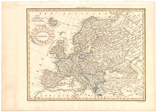
Subject: Europe

Period: 1812 (circa)

Publication: Atlas Complet du Precis de la Geographie Universelle

Color: Hand Color

Size:
11 x 9 inches
27.9 x 22.9 cm
Download High Resolution Image
(or just click on image to launch the Zoom viewer)

Finely engraved map of the European continent shows the countries depicted north of the Mediterranean Sea including Iceland and the Faeroe Islands to the north of Scotland. Many cities, rivers, and mountains are shown, with boundaries indicated between countries. Drawn by Giraldon, engraved by Jean Baptiste Tardieu, and published by Malte-Brun and Lapie.

References:

Condition: B+

Original color on a full sheet with one small spot adjacent to title.

Estimate: $80 - $100

Sold for: $60

Closed on 4/3/2013

Archived