Catalog Archive
Auction 144, Lot 135
"Carte Reduite du Detroit de Magellan Dressee sur les Journaux des Navigateurs", Bellin, Jacques Nicolas
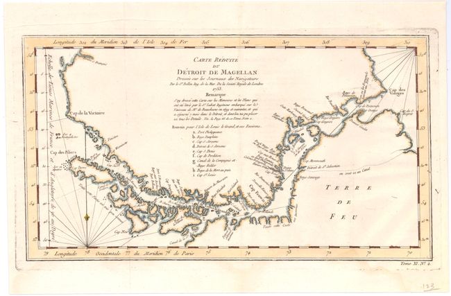
Subject: Southern South America
Period: 1753 (dated)
Publication: Raynal's Atlas Portatif
Color: Hand Color
Size:
13.7 x 7.5 inches
34.8 x 19.1 cm
Download High Resolution Image
(or just click on image to launch the Zoom viewer)
(or just click on image to launch the Zoom viewer)