Catalog Archive
Auction 142, Lot 790

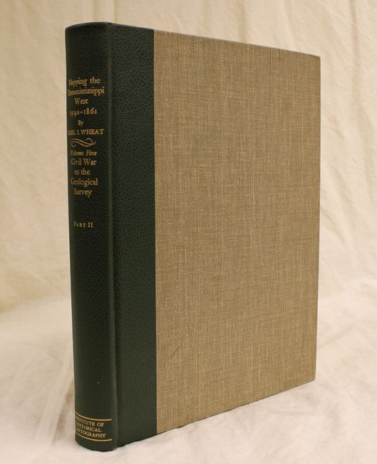
"Mapping the Transmississippi West…, Volume Five Part II", Wheat, Carl I.

Subject: Reference Books

Period: 1963 (published)

Publication:

Color: Black & White

Size:
10.5 x 14.5 inches
26.7 x 36.8 cm
Download High Resolution Image
(or just click on image to launch the Zoom viewer)

Volume Five, Part II of Carl Wheat's monumental work on western cartography covering the Civil War to the Geological Survey from 1868-84. This volume includes the bibliocartography for all of Volume Five, Part I and Part II, with a chronological listing of maps from 1851-84. A great opportunity to begin collecting the set considered the definitive work detailing the mapping of the American West. First edition limited to 1,000 copies. 487 pp. illustrated throughout with facsimile maps, finely lithographed by Charles R. Wood and Associates. Original green leatherette and gray cloth, folio.

References:

Condition: A

The interior is pristine, and the covers have a couple of minor scuffs.

Estimate: $250 - $350

Sold for: $130

Closed on 11/28/2012

Archived