Catalog Archive
Auction 142, Lot 780

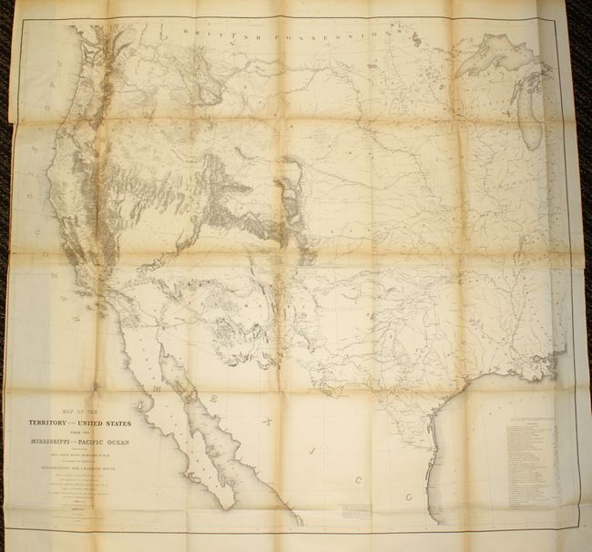
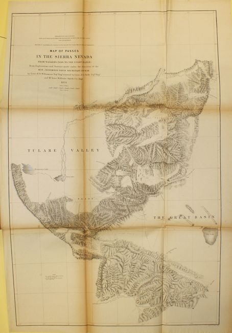
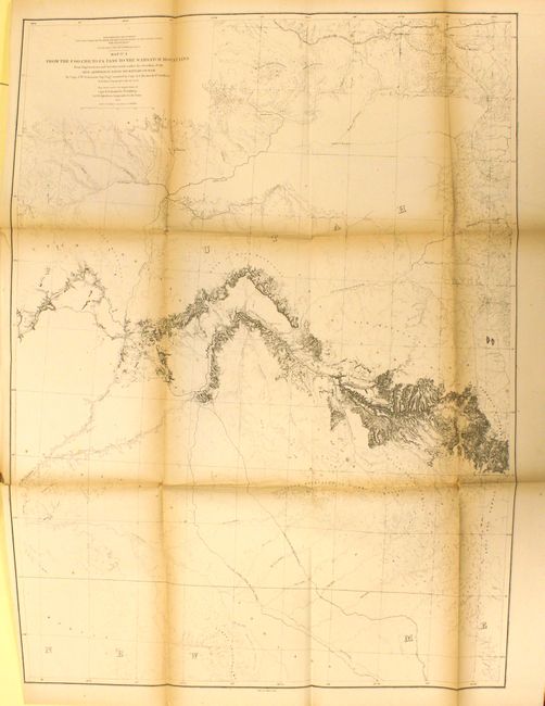
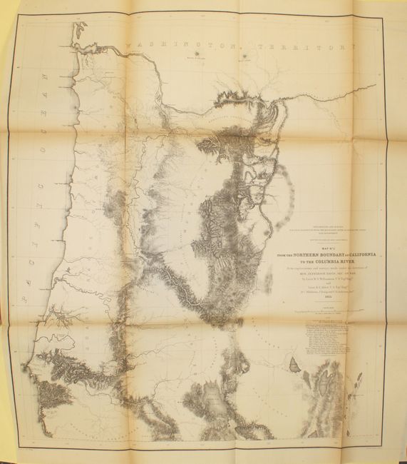
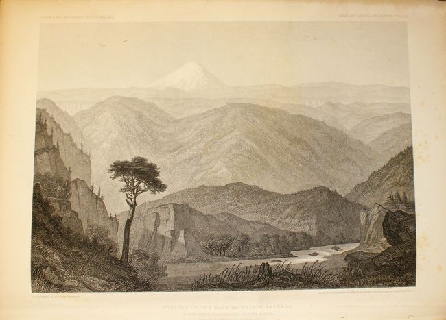
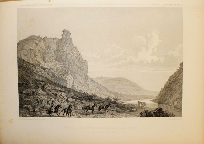
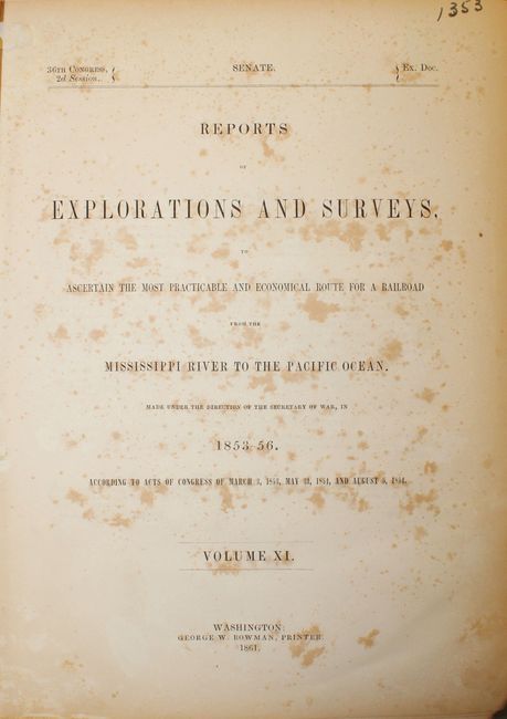
"[Volume XI] Reports of Explorations and Surveys to Ascertain the Most Practicable and Economical Route for a Railroad from the Mississippi River to the Pacific Ocean, 1853-1856, Volume XI", U.S. Railroad Surveys

Subject: Exploration and Surveys

Period: 1861 (published)

Publication: 36th Cong., 2d Sess.

Color: Black & White

Size:
9 x 11.8 inches
22.9 x 30 cm
Download High Resolution Image
(or just click on image to launch the Zoom viewer)

During the 1850s, the U.S. government sponsored an extensive series of expeditions designed to gather information on the vast new territories that had been acquired in western North America. The discovery of gold in California further stimulated westward traffic and heightened the need for a faster and more convenient way to bring the far-flung parts of the country together. In 1853 Congress commissioned the Army's Topographic Bureau to conduct a series of surveys to find a suitable route for a transcontinental railroad. There were six major expeditions; five of them covered the area between the Great Plains and west coast, and the sixth explored the coastal states of California and Oregon. All of these expeditions were accompanied by naturalists and artists to document the landscape, flora and fauna along the route. The reports, maps and lithographs were published in the 13 volume report "Explorations and Surveys to ascertain the most practicable and economical route for a Railroad from the Mississippi river to the Pacific Ocean."

This is the unnumbered Senate version specifically noted in the reference given. This volume includes the rare Warren map, "Map of the Territory of the United States from the Mississippi to the Pacific Ocean…," (46" x 42") which was not present in all volumes. Known as "Warren's General Map," this is a monumentally important map that is considered to be the first accurate overall picture of the region. Wheat considered it so important that he dedicated eight pages to its description and called it the most important map produced by the Topographical Engineers. Drawn on the polyconic projection, the map culminated a half-century of government explorations beginning with Lewis and Clark. Only 24 years old when assigned the task, Warren used information from the U.S. Land Office, the Coast Survey, Topographical Engineers, the Adjutant General, the Quartermaster General, the Indian Bureau, and Smithsonian Institution to obtain the latest information in developing this map. The majority of the map was completed by 1854, but it was not fully complete when the first railroad survey report was published in 1855 and thus did not accompany all editions. A remarkable and scarce map that represents the best geographical knowledge of the day.

In addition to the Warren map, there are a total of 33 large folding maps in this complete example. Also having to do with the 41st Parallel survey, it includes the beautifully engraved plates and panoramas from Lieut. Beckwith's explorations from Salt Lake City to the Sacramento River . Includes the "Northern Slopes of the Sierra Nevada" which has a dramatic view of Mt. Shasta. Quarto, hardbound in brown pebbled cloth covers.

References: Wagner & Camp #266c; Wheat (TMW) #936.

Condition: C+

The large Warren map has an 11" tear at top left that has been repaired on verso with archival material with toning along the folds and a number of fold separations, most of which have been closed on verso with archival tape. Trimmed beyond the neatline at lower left due to binding (B condition). The remaining 33 maps have toning along the folds, a number of fold separations and an occasional binding tear. Text and plates show occasional to moderate foxing. The binding is perished, and the first 120 pages and front cover have separated from the text block.

Estimate: $800 - $1,000

Sold for: $800

Closed on 11/28/2012

Archived