Catalog Archive
Auction 142, Lot 770

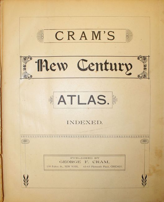
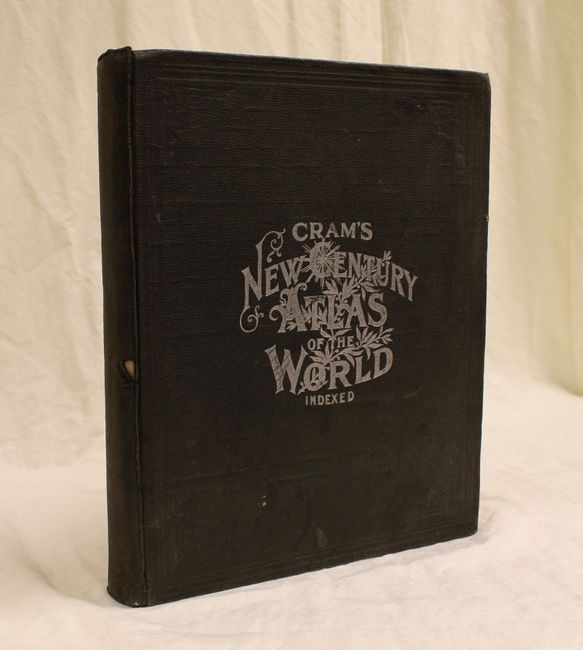
"Cram's New Century Atlas. Indexed", Cram, George F. & Company

Subject: Atlases

Period: 1901 (published)

Publication:

Color: Printed Color

Size:
12 x 14.8 inches
30.5 x 37.6 cm
Download High Resolution Image
(or just click on image to launch the Zoom viewer)
George Franklin Cram was a civil war veteran who marched with Sherman prior to his career as a map publisher. In 1867, George F. Cram and his uncle, Rufus Blanchard, founded the company Blanchard & Cram in Evanston, IL. The company manufactured and sold maps and atlases. Cram became the sole owner two years later and renamed it the George F. Cram Company. They sold a wide variety of atlases including the popular Unrivaled Atlas of the World which was printed continuously from the 1880s to 1952. In 1921, George Cram sold his business to one of his largest customers, E.A. Peterson of the National Map Company. The company is to this day producing quality maps and globes.

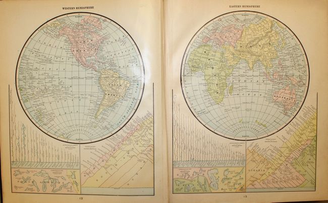
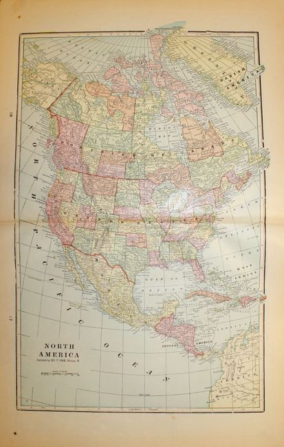
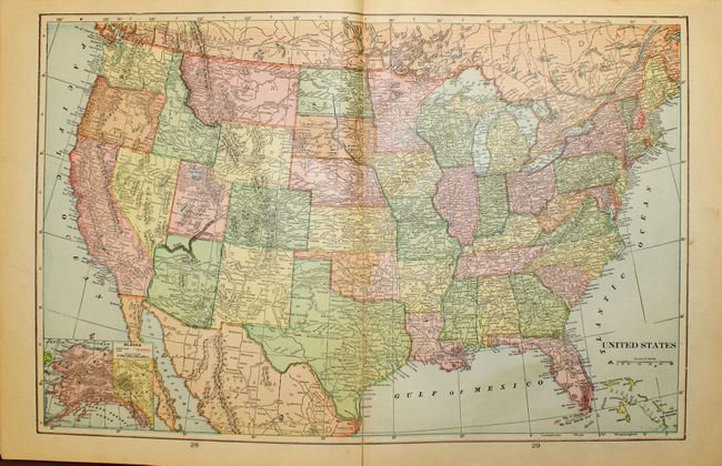
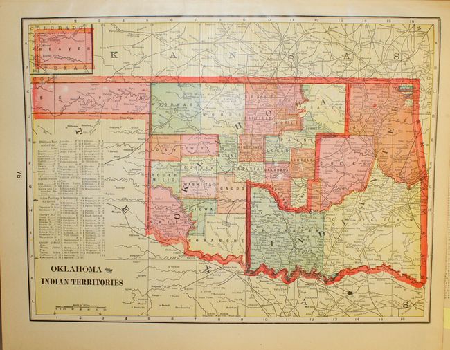
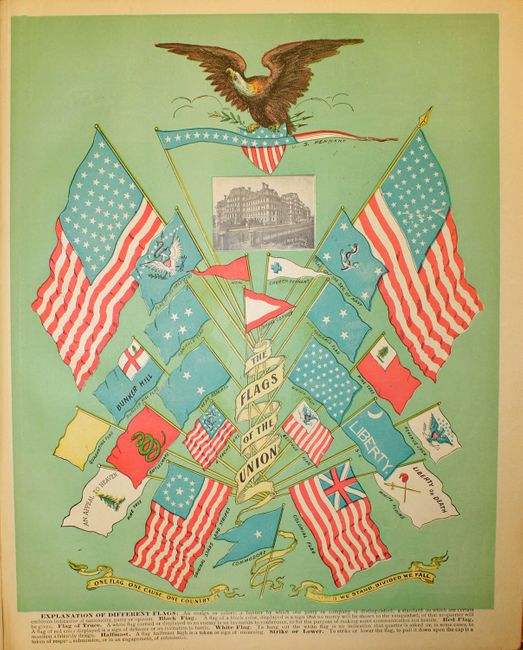
George F. Cram founded his company in 1869 after a short partnership with his uncle, Rufus Blanchard, one of the earliest map publishers in Chicago. Initially he published state maps and eventually entered the atlas field. He developed the technically complex business of atlas production and specialized in producing those that reached the widest audience possible. As the literacy rate rose in 19th century America, so did the market for atlases, which provided a compendium of information about the country and the wider world. Cram capitalized on this need and filled his atlases with an incredible amount of information that was continually updated. This complete atlas is one of Cram's larger publications, combining modern, historical, and astronomical maps along with statistical diagrams and a complete gazetteer of the United States. It contains about 200 maps, tipped in with double-page sheets continuously printed, and most maps printed back to back. Title page, table of contents, maps, text, and index, 550 pp. Hardbound in brown cloth with gilt titling on front cover.

References:

Condition: B+

The vast majority of the maps are in near fine condition. A handful of maps are in very good or good condition, with some toning, soiling, or short tears. Several maps are loose. The map of North America has a tear that extends 3" into map and has been closed on verso with archival tape. The binding are a bit loose and the hinges are almost perished. The spine and front cover show light wear, and the back cover has mildew stains, although there are no damp stains in the interior.

Estimate: $150 - $200

Sold for: $110

Closed on 11/28/2012

Archived