Catalog Archive
Auction 142, Lot 761

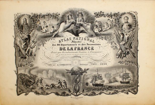
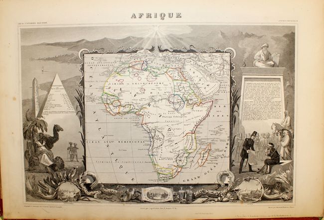
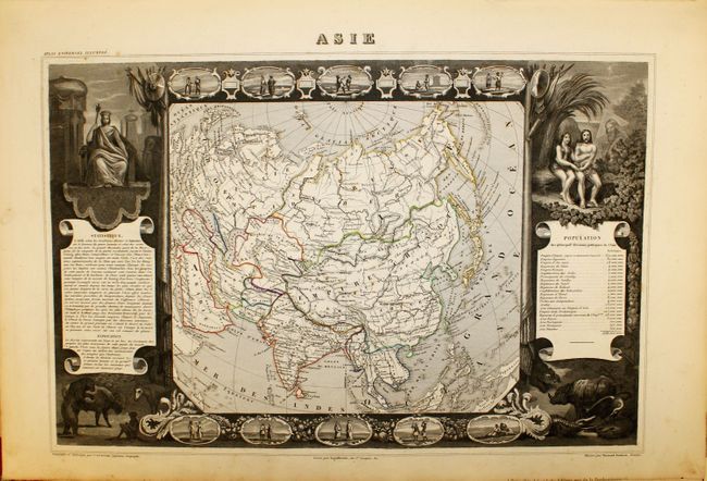
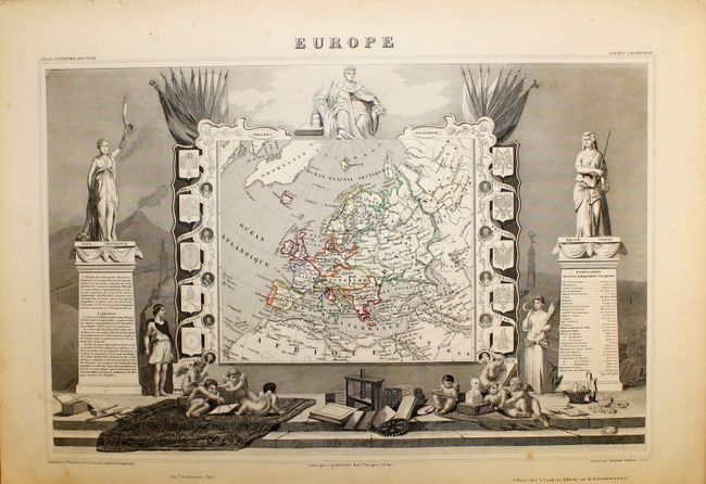
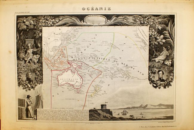
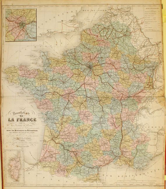
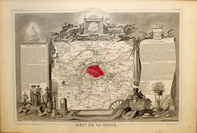
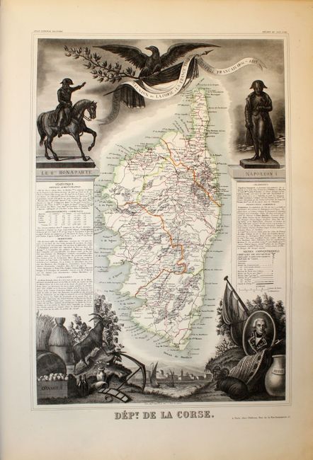
"Atlas National Illustre des 86 Departements et des Possessions de la France Divise par Arrondissements, Cantons, et Communes...", Levasseur, Victor

Subject: Atlases

Period: 1856 (published)

Publication:

Color: Hand Color

Size:
14.3 x 20.8 inches
36.3 x 52.8 cm
Download High Resolution Image
(or just click on image to launch the Zoom viewer)

Victor Levasseur's "Atlas National Illustre" and "Atlas Universel Illustre" are among the last decorative atlases published. The maps are all lavishly illustrated with scenes of the countryside, products and activities indigenous to the region.

This was one of the last decorative atlases ever produced. The finely engraved title page, which sets the stage for the beautiful maps to follow, is made up of several vignettes depicting famous land and sea battles, a portrait of Napoleon I, cherubs practicing the arts and sciences, and more. In addition to the individual French departments the atlas contains maps of the world (a double-page example in this edition), continents, Oceania and French Colonies. The map of North America names and colors Texas as independent even in this 1856 edition. The United States is shown extending well into Canada in the Pacific Northwest. France was an ally to the U.S. and supported their position in the Fifty-four Forty or Fight dispute. Six more maps show the French colonial possessions of the time and a double-page map at the back of the atlas illustrates France as a whole (Nouvelle Carte de la France. This fine and complete atlas is filled with maps that have lovely decorated borders that relate to the region, including statistical information, regional products, famous local people, and places of interest. Original quarter leather, red embossed and gilt cloth covers over boards, raised spine, all with tooling. Marbled end papers, engraved title page, table of statistics, 103 single-page maps and 2 double-page maps.

References:

Condition: B+

The maps all have original color, and the vast majority are in fine or near fine condition. The map of France has light, scattered foxing, and the world and continents maps each have a couple of spots of foxing. The binding is somewhat loose and the hinges are starting. The covers are lightly worn and sunned with bumped corners.

Estimate: $1,000 - $1,200

Sold for: $750

Closed on 11/28/2012

Archived