Catalog Archive
Auction 142, Lot 758

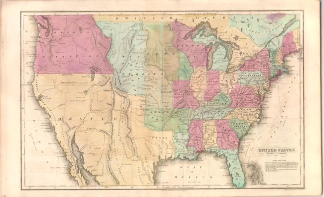
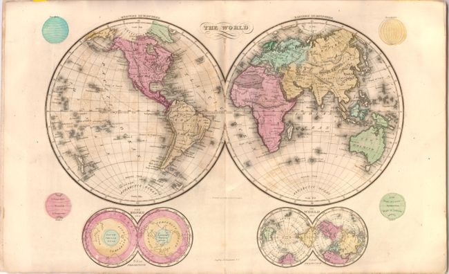
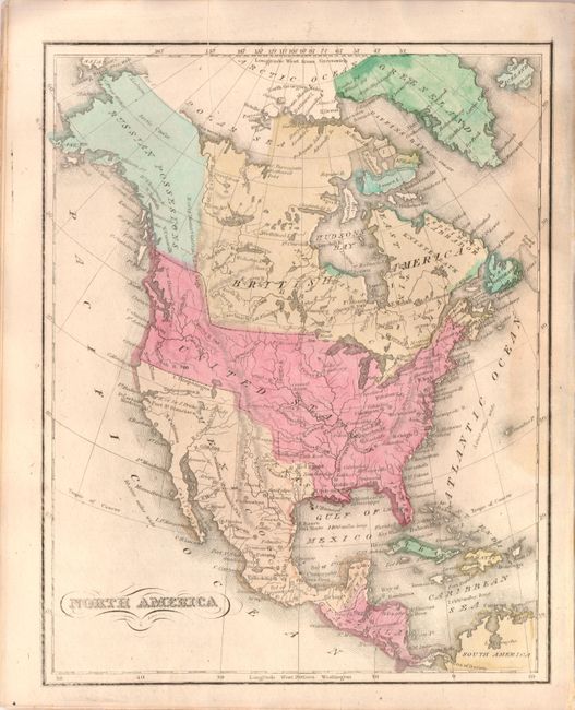
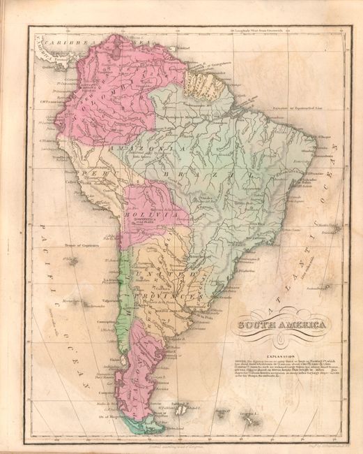
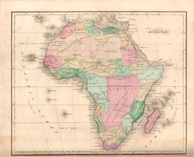
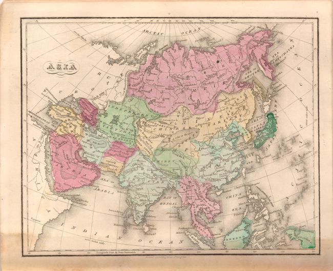
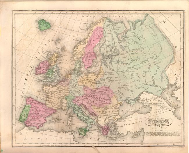
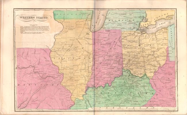
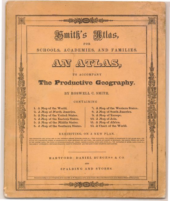
"Smith's Atlas, for Schools, Academies, and Families. An Atlas, to Accompany the Productive Geography...", Smith, Roswell C.

Subject: Atlases

Period: 1835 (published)

Publication:

Color: Hand Color

Size:
9.7 x 11.8 inches
24.6 x 30 cm
Download High Resolution Image
(or just click on image to launch the Zoom viewer)

This small school atlas was designed to accompany Smith's The Productive Geography. The atlas contains 12 maps, including two world maps, one for each of the five continents, a United States map, and four regional maps of the U.S. The United States map depicts large Iowa, Missouri and Oregon Territories. There is no border between the United States and British America in the northwest, reflecting the disputed claims of Oregon Territory. Arkansas, which was admitted as a state in 1836, extends west to the Mexican border. The regional maps show county lines, towns with their approximate populations, and topography. The length of rivers are noted, and miniature vessels along the rivers indicate how far up river ships of various sizes can navigate. Original illustrated paper covers.

References:

Condition: B+

Original color with offsetting and light soiling. The covers are lightly stained and worn.

Estimate: $350 - $425

Sold for: $250

Closed on 11/28/2012

Archived