Catalog Archive
Auction 142, Lot 662

"The East Indies; Distinguishing the Empires and Kingdoms on the Continent Commonly Call'd India", Robert de Vaugondy, Didier

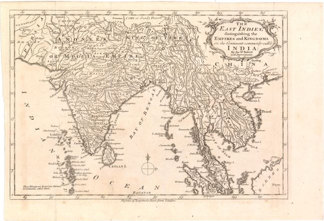
Subject: East Indies - Indonesia

Period: 1760 (circa)

Publication:

Color: Black & White

Size:
11.6 x 7.9 inches
29.5 x 20.1 cm
Download High Resolution Image
(or just click on image to launch the Zoom viewer)

This map divides India and Southeast Asia into its different kingdoms and empires, and identifies major towns, rivers, mountains, and islands. It extends south to include the Maldives Islands and parts of Sumatra and Borneo in the southeast. The map corresponds to the beginning of the East India Company's rule in India, and reflects increasing British interests in this area.

References:

Condition: B+

Issued folding with some faint soiling and a few small, scattered stains.

Estimate: $120 - $150

Sold for: $90

Closed on 11/28/2012

Archived