Catalog Archive
Auction 142, Lot 594
"Estats de l'Empire du Grand Seigneur des Turcs, en Europe, en Asie, et en Afrique, Divise en tous ses Beglerbeglicz, ou Gouvernements…", Elwe, Jan Barend
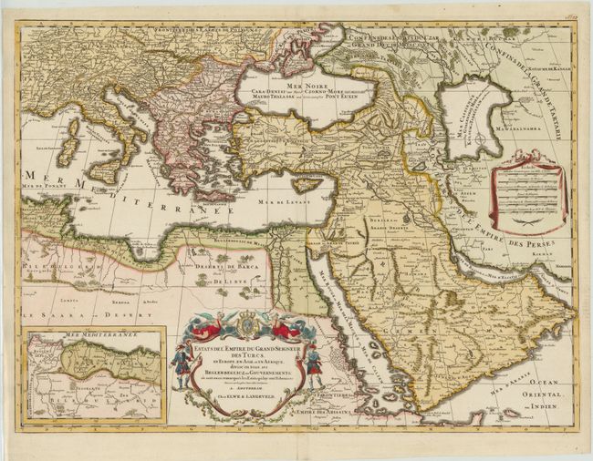
Subject: Eastern Mediterranean, Turkish Empire
Period: 1792 (circa)
Publication:
Color: Hand Color
Size:
24.6 x 18 inches
62.5 x 45.7 cm
Download High Resolution Image
(or just click on image to launch the Zoom viewer)
(or just click on image to launch the Zoom viewer)