Catalog Archive
Auction 142, Lot 57

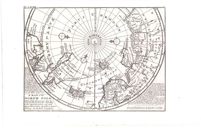
"A Map of the North Pole with all the Territories that Lye Near it...", Moll, Herman

Subject: North Pole

Period: 1745 (circa)

Publication: Modern History

Color: Black & White

Size:
10.7 x 8 inches
27.2 x 20.3 cm
Download High Resolution Image
(or just click on image to launch the Zoom viewer)

This unusual map depicts the North Pole and shows incomplete northern coastlines for North America and Greenland. Novaya Zemlya is correctly shown as an island facilitating a Northeast Passage to Asia. Above the Pole is Parts Unknown, and three compass roses complete the composition. This is the fourth state of the map, which includes a publisher's imprint, two panels of text flanking the map, and Vol. 1 p. 714 added outside the neatline, at top left. Published in London in Thomas Salmon's Modern History: or the Present State of All Nations.

References: Kershaw #410; Shirley (BL-Atlas) G.SALM-1c #19.

Condition: A

A fine impression on watermarked paper.

Estimate: $275 - $350

Sold for: $150

Closed on 11/28/2012

Archived