Catalog Archive
Auction 142, Lot 508
"Germany. Divided into Circles. Agreeable to Modern History", Moll, Herman
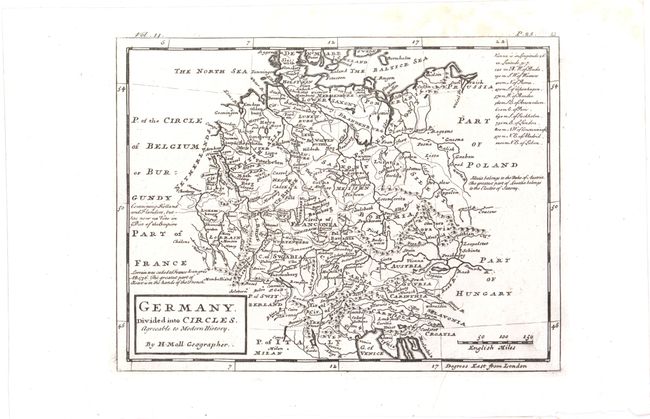
Subject: Germany
Period: 1745 (circa)
Publication: Salmon's Modern History
Color: Black & White
Size:
10.3 x 7.8 inches
26.2 x 19.8 cm
Download High Resolution Image
(or just click on image to launch the Zoom viewer)
(or just click on image to launch the Zoom viewer)