Catalog Archive
Auction 142, Lot 484

"Accuratissima Totius Regni Hispaniae Tabula", Wit, Frederick de

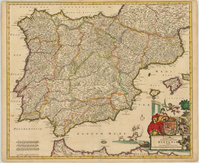
Subject: Spain & Portugal

Period: 1688 (circa)

Publication:

Color: Hand Color

Size:
23.1 x 19.6 inches
58.7 x 49.8 cm
Download High Resolution Image
(or just click on image to launch the Zoom viewer)

This map of Portugal, Spain and the Balearic Islands is divided by provinces and filled with topographical information and place names. The large title cartouche features the allegorical figure of Hispania leaning on the coat of arms of Phillip II, representing the Spanish Monarchy at the height of its power. In the Mediterranean a putto plays with several mermen.

References:

Condition: B+

A nice impression with minor soiling and a few minor centerfold separations at bottom repaired on verso with archival material. Trimmed close to neatline at top, but still ample room for framing.

Estimate: $350 - $450

Sold for: $210

Closed on 11/28/2012

Archived