Catalog Archive
Auction 142, Lot 463

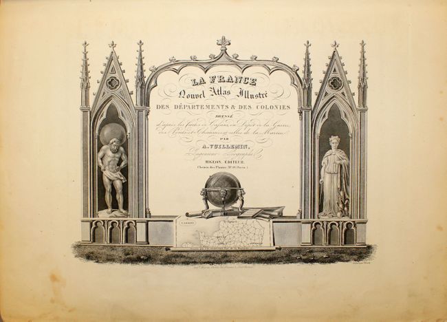
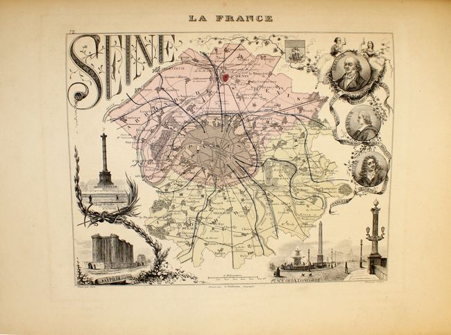
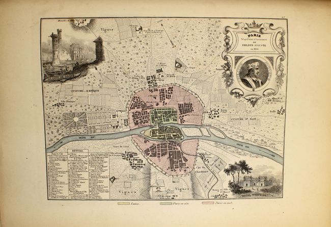
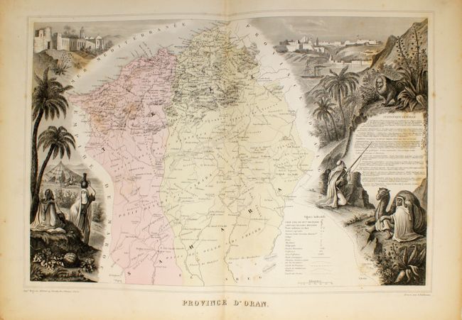
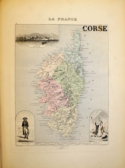
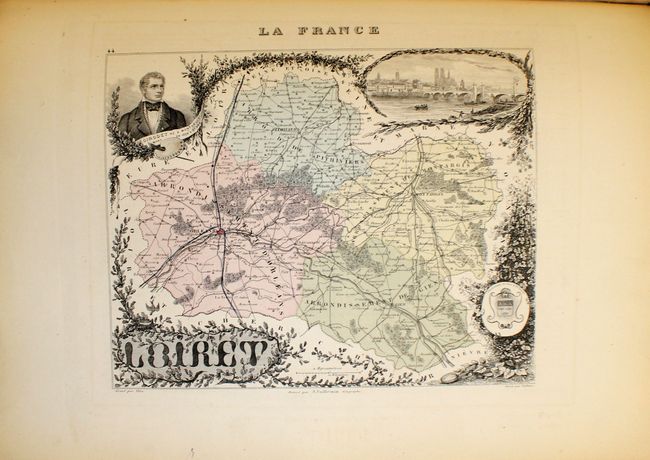
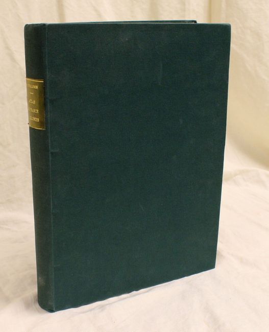
"La France et ses Colonies Atlas Illustre Cent Cartes Dressees d'Apres les Cartes de Cassini, du Depot de la Guerre, des Ponts-et-Chaussees et de la Marine...", Vuillemin, Alexander A.

Subject: France, Atlas

Period: 1862 (circa)

Publication:

Color: Hand Color

Size:
11 x 14.5 inches
27.9 x 36.8 cm
Download High Resolution Image
(or just click on image to launch the Zoom viewer)

This apparently complete atlas of France and its colonies contains 100 maps including one for each French department, 2 maps of Paris and maps of each colony. Most maps are single-page, although the three maps of colonies in Africa, Province d'Oran, Province d'Alger, and Province de Constantine, are double-page. Each map has a corresponding page of text providing descriptions of the administration, history, and principal towns located in the region. Finely engraved vignettes adorn the maps, illustrating town views, historical or regional figures, and important geographical or structural features. Folio, professionally rebound in green library buckram covered boards, with original leather label and gilt titling on spine, marbled endpapers.

References:

Condition: B+

Original color. The majority of the maps have mild toning, light offsetting, and scattered foxing. The map of <i>Province d'Alger</i> is completely split along the centerfold. The binding is new and in very good condition with light scuffing.

Estimate: $200 - $250

Sold for: $160

Closed on 11/28/2012

Archived