Catalog Archive
Auction 142, Lot 454
"Flanders or the Spanish Netherlands. With ye Archbishoprick of Cambresis and Bishoprick of Lyege", Moll, Herman
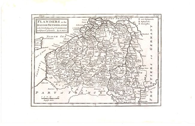
Subject: Belgium
Period: 1745 (circa)
Publication: Modern History
Color: Black & White
Size:
9.9 x 7.1 inches
25.1 x 18 cm
Download High Resolution Image
(or just click on image to launch the Zoom viewer)
(or just click on image to launch the Zoom viewer)