Catalog Archive
Auction 142, Lot 407

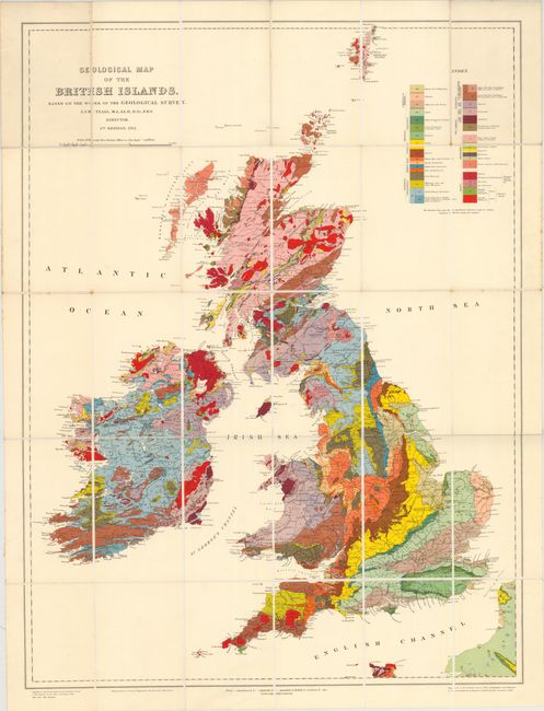
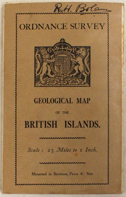
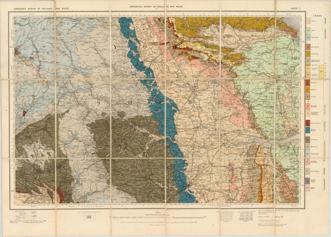
"[Lot of 2] Geological Map of the British Islands. Based on the Work of the Geological Survey [and] [Yorkshire Sheet] Geological Survey of England and Wales",

Subject: Great Britain & Ireland

Period: 1907-12 (dated)

Publication:

Color: Printed Color

Size:
See Description
Download High Resolution Image
(or just click on image to launch the Zoom viewer)

These two maps were produced under the direction of J.J. H. Teall, Director of the Geological Survey. Both are dissected and backed with linen and fold into self-wrappers.

A. Geological Map of the British Islands, dated 1912, (24.3 x 32.2"). This attractive and highly colorful map of the British Isles describes the geology using 28 different units. In addition to the impressive geological detail, towns, roads and rivers are displayed. Drawn at a scale of 25 miles per inch. Condition: Clean, crisp impression with vibrant color. Wrappers show minor wear with previous owner's signature on front cover. (A)

B. [Yorkshire Sheet] Geological Survey of England and Wales, dated 1907, (25.5 x 17.5"). This sheet, displaying the Yorkshire area, is number seven of twelve from the Geological Survey of England and Wales. It describes the geology using 22 different units and also shows roads, railroads, churches and county boundaries. Drawn on a scale of 4 miles per inch, this is a reduced version of the 1906 survey. Condition: Just a hint of toning, else fine. (A)

References:

Condition:

See descriptions above.

Estimate: $250 - $325

Sold for: $150

Closed on 11/28/2012

Archived