Catalog Archive
Auction 142, Lot 404

"Les Isles Britanniques; qui Contiennent les Royaumes d'Angleterre, Escosse, et Irlande...", Valck, Gerard
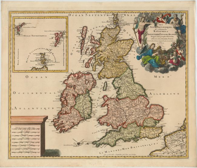
Subject: Britain

Period: 1695 (circa)

Publication:

Color: Hand Color

Size:
22.8 x 19 inches
57.9 x 48.3 cm
Download High Resolution Image
(or just click on image to launch the Zoom viewer)

Valck's map of the British Isles follows closely the cartography of Jaillot's later general maps. Although the map was published at the end of the 16th century, it still bears incorrect outlines of Ireland and Scotland. A large inset of the Faeroe, Orkney and Shetland Isles is included. The map is adorned with a large plinth bearing numerous distance scales and an allegorical title cartouche featuring Neptune, several angelic figures, and a celestial harpist.

References: Shirley (BI to 1750) Valck 1.

Condition: A

A nice impression on watermarked paper with a professionally repaired centerfold separation that enters 2.5" into map at bottom. There is a chip along centerfold in bottom blank margin that has also been professionally repaired.

Estimate: $475 - $550

Sold for: $325

Closed on 11/28/2012

Archived