Catalog Archive
Auction 142, Lot 365

"A New & Accurate Map of Brasil. Divided into its Captainships Drawn from the Most Approved Modern Maps & Charts…", Bowen, Emanuel
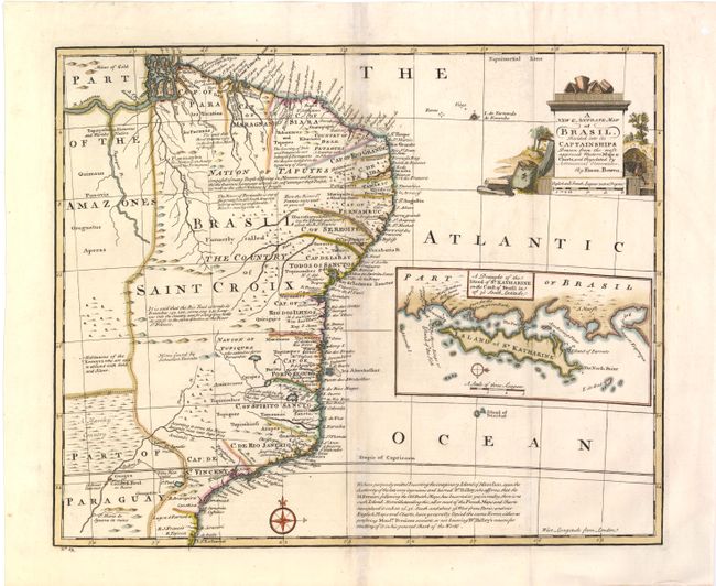
Subject: Brazil

Period: 1744 (published)

Publication: A Complete System of Geography…

Color: Hand Color

Size:
16.8 x 13.8 inches
42.7 x 35.1 cm
Download High Resolution Image
(or just click on image to launch the Zoom viewer)

Copper engraved map with good detail along the coastal areas with scores of place names. The map covers the region between northern Paraguay and north to the mouth of the Amazon. A large inset of the Island of St. Katharine fills the blank ocean. In a lengthy note at bottom, Bowen states that he intentionally "omitted the imaginary Island of Ascension, upon the authority of Dr. Halley." The map includes several other notes, including an area said to "abound with Gold and Silver."

References: McCorkle (18th c. Geography Books) #17-22.

Condition: B+

Issued folding with light toning along folds and a 3/16" hole west of Paraiba that has been professionally repaired. The folds have been reinforced with Japanese tissue on verso.

Estimate: $375 - $450

Sold for: $275

Closed on 11/28/2012

Archived