Catalog Archive
Auction 142, Lot 350

"A Map of South America, Drawn From The Latest and Best Authorities", Lodge, John

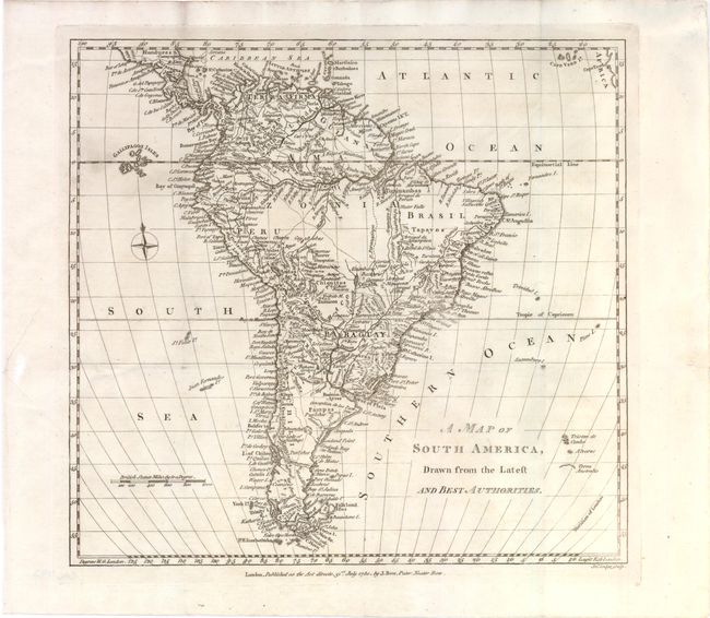
Subject: South America

Period: 1780 (dated)

Publication: Political Magazine

Color: Black & White

Size:
11.5 x 10.8 inches
29.2 x 27.4 cm
Download High Resolution Image
(or just click on image to launch the Zoom viewer)

A detailed small map of South America filled with rivers, mountains, towns and political boundaries. The map extends to include the Cape Verde Islands and the western tip of Africa, as well as the initial outline of Terra Australis. Published by John Bew.

References: Jolly #POL-8.

Condition: B+

Issued folding, now pressed, on watermarked paper with light soiling. Backed with Japanese tissue to repair two tiny holes at fold intersections and a tear in left blank margin.

Estimate: $100 - $140

Sold for: $50

Closed on 11/28/2012

Archived