Catalog Archive
Auction 142, Lot 244

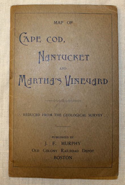
"Road Map of Southeastern Massachusetts Cape Cod, Nantucket and Martha's Vineyard. Reduced from Mass. Geological Survey",

Subject: Cape Cod, Massachusetts

Period: 1910 (circa)

Publication:

Color: Printed Color

Size:
17.3 x 22.3 inches
43.9 x 56.6 cm
Download High Resolution Image
(or just click on image to launch the Zoom viewer)
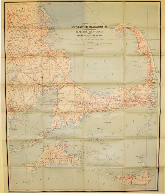
Scarce pocket map with cover titled "Map of Cape Cod, Nantucket and Martha's Vineyard." Blue and white map with red and black overprinting to show railroads, roads and county boundaries. John F. Murphy, publisher, was active in the first decade of the 20th century, making this an early road map. Issued folding in original paper covers.

References:

Condition: B+

Clean and bright with a few splits at fold intersections and a few minor spots in the image. Covers are faded but in otherwise very good condition.

Estimate: $200 - $250

Sold for: $100

Closed on 11/28/2012

Archived