Catalog Archive
Auction 140, Lot 94

"America Divided into North and South with their Several Subdivisions and the Newest Discoveries", Laurie & Whittle

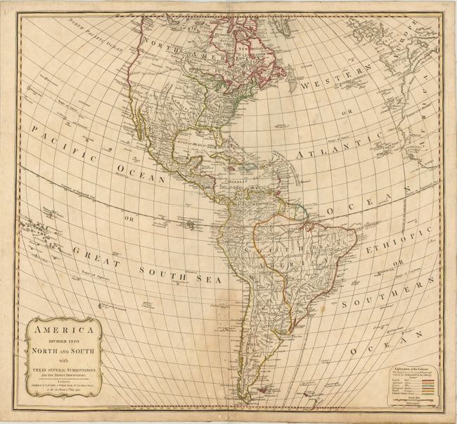
Subject: Western Hemisphere - America

Period: 1794 (dated)

Publication:

Color: Hand Color

Size:
21.3 x 19.5 inches
54.1 x 49.5 cm
Download High Resolution Image
(or just click on image to launch the Zoom viewer)

This map of the Americas shows the United States confined to east of the Mississippi River. Much of the rest of the country is shown under Spanish control. The area of Texas is labeled New Mexico and both Taos and Sante Fe are located. The Northwest is largely blank but two different possible River of the West locations are shown. In South America, there is good inland detail of the river system but two fictitious lakes, Parime and Xarayos, are identified.

References:

Condition: B+

There is a light damp stain along centerfold at bottom, in addition to a few small spots and light soiling. Backed with linen.

Estimate: $220 - $250

Sold for: $220

Closed on 5/23/2012

Archived