Catalog Archive
Auction 140, Lot 92

"[Untitled - North America]", Anon.

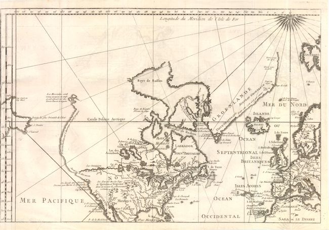
Subject: North America

Period: 1780 (circa)

Publication:

Color: Black & White

Size:
14 x 9.5 inches
35.6 x 24.1 cm
Download High Resolution Image
(or just click on image to launch the Zoom viewer)

This interesting French map of North America depicts several cartographic myths common in the late eighteenth century due to the lack of exploration of in the West. The map extends to include the "point furthest west in Asia" as well as western Europe and part of northern Africa. The northwestern coast of North America extends eastward, omitting the Alaskan coastline and Bering's discoveries from 1741, but contains notes on the discoveries of Martin d'Aquilar in 1602 and the Moscovites in 1743. A River of the West (Fl. De l'Ouest) is prominently featured extending almost to the Pacific Ocean, and serves as a Northwest Passage by connecting to the Atlantic Ocean through a series of conjectural lakes and rivers.

References:

Condition: B+

Issued folding on watermarked paper with light offsetting. Trimmed to neatline at left with minute loss of neatline at bottom left.

Estimate: $240 - $300

Unsold

Closed on 5/23/2012

Archived