Catalog Archive
Auction 140, Lot 901

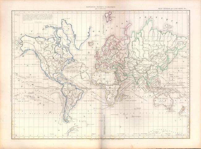
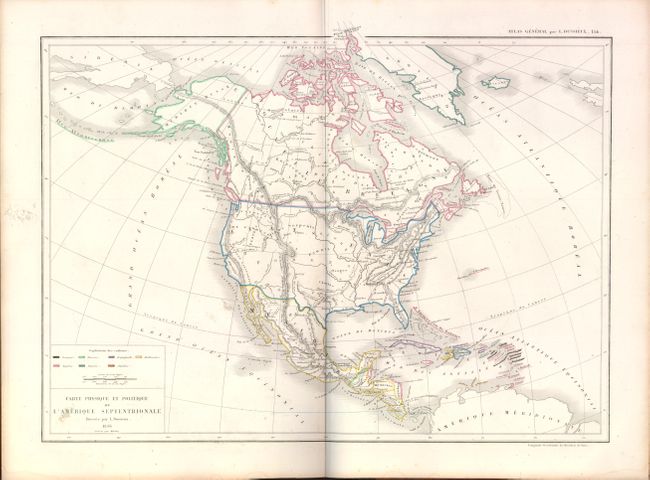
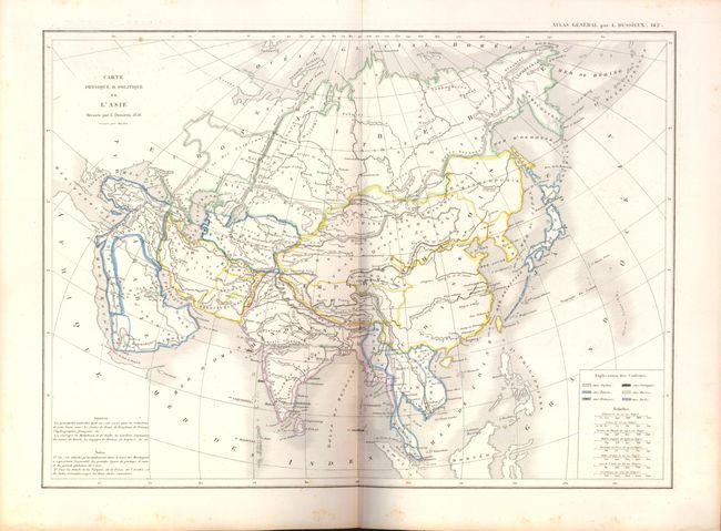
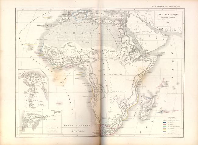
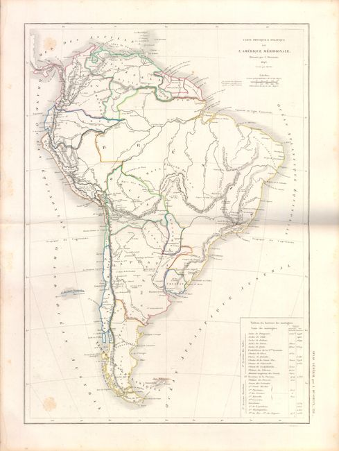
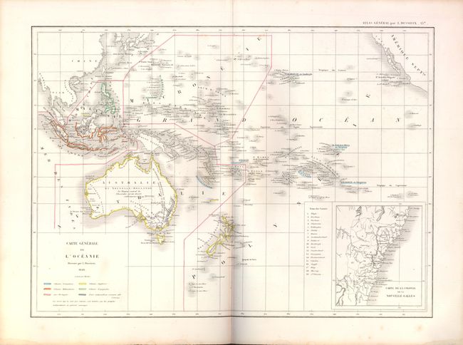
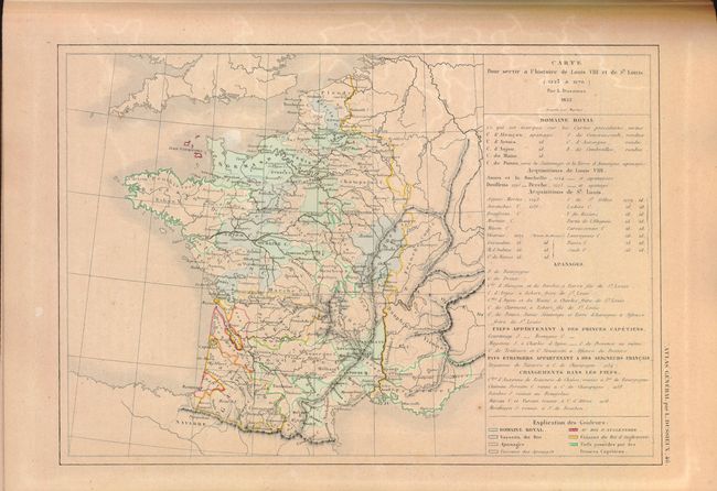
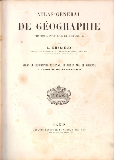
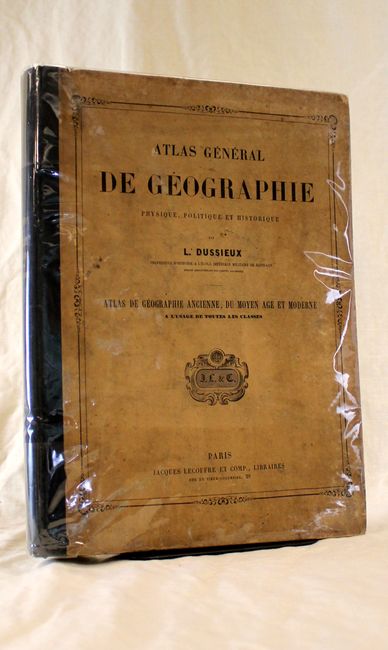
"Atlas General de Geographie Physique, Politique et Historique", Dussieux, Louis Entienne

Subject: Atlases

Period: 1860 (circa)

Publication:

Color: Hand Color

Size:
10 x 13.5 inches
25.4 x 34.3 cm
Download High Resolution Image
(or just click on image to launch the Zoom viewer)

This complete French atlas contains 59 maps, including 41 double page and 18 single page maps. The celestial plates and a few others are uncolored, but the majority are in original outline color. The maps are dated 1846 to 1860. The map of North America is dated 1856 but clearly shows pre-Fremont mapping in the west. The entire southwest and Texas is a region labeled as "Forests." Folio, tan paper covered boards with black cloth spine.

References:

Condition: A

All maps are very good with some occasional scattered foxing, except for the historical map of France which is moderately toned. Covers are worn and bumped and the end papers and title pages show some light staining and foxing.

Estimate: $400 - $500

Sold for: $200

Closed on 5/23/2012

Archived