Catalog Archive
Auction 140, Lot 81

"Amerique ou Indes Occidentales avec les Nouvelles Decouvertes du Capite. Cook…", Robert de Vaugondy/Delamarche

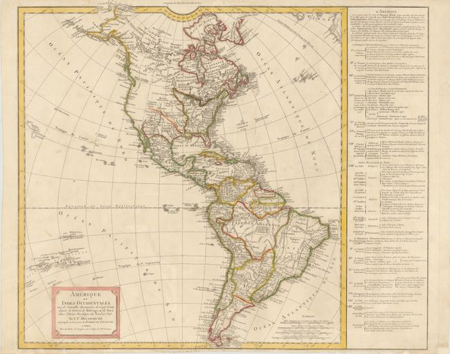
Subject: Western Hemisphere

Period: 1800 (circa)

Publication:

Color: Hand Color

Size:
20.3 x 21.3 inches
51.6 x 54.1 cm
Download High Resolution Image
(or just click on image to launch the Zoom viewer)

Large, handsome map of the Americas including the discoveries of Captain Cook in Alaska and Hawaii, with several additional islands depicted in the Pacific. The United States is shown confined east of the Mississippi River. The text panel at right names the thirteen original states with additional notes concerning the creation of the new states of Maine, Vermont, Kentucky, and Tennessee. Boston is named as the capital of both Massachusetts and the United States. Originally by the Robert de Vaugondy family, this map was reissued by their successor, Charles Francois Delamarche. The map is based on the work of the Robert de Vaugondy family, but was re-engraved by Delamarche to incorporate the latest information gathered by the explorations noted.

References:

Condition: B+

Original outline color on watermarked paper, with a few short printer's creases. There is a centerfold separation that enters 3.5" into image at bottom, and a tear that enters 1.5" into image at top that have both been archivally repaired. There are some small worm tracks primarily confined to blank margins and map border that have been professionally repaired, with a minor amount of border in facsimile.

Estimate: $350 - $450

Unsold

Closed on 5/23/2012

Archived