Catalog Archive
Auction 140, Lot 802

"Africa ex Magna Orbis Terre Descriptione Gerardi Mercatoris Desumpta", Mercator, Gerard (the younger)
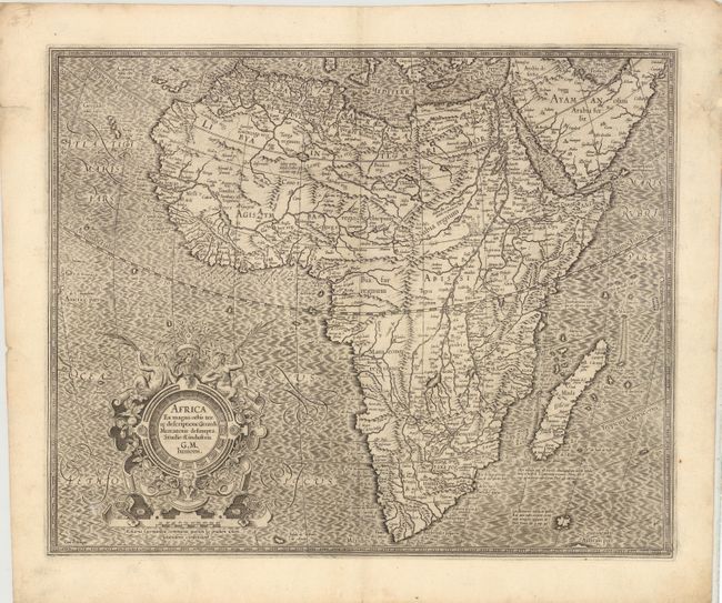
Subject: Africa

Period: 1628 (circa)

Publication: Gerardi Mercatoris Atlas sive Cosmographicae

Color: Black & White

Size:
18.3 x 14.8 inches
46.5 x 37.6 cm
Download High Resolution Image
(or just click on image to launch the Zoom viewer)

Compiled from Gerard Mercator's world map of 1569, this rendition was drawn by Mercator's grandson (also named Gerard) in 1595, and published later by Hondius. The map is typical of 16th century cartography with considerable fantastic detail in the interior. The depiction of the Nile is based on Ptolemy's geography with some complex modifications from various sources, including Abyssinian monks. The source of the Nile is shown as a series of lakes located in the Lune montes just north of the Tropic of Capricorn. Another branch of the Nile flows from the west, with this system rambling through what is the Sahara Desert. Mercator adds a lake named Sac. Haf lac, from the 1507 Waldseemuller world map. This lake feeds both the Zambere River and the Nile. In Abissini, the legendary Christian King Prester John sits on his throne. The boldly engraved oceans, beautiful calligraphy, and strapwork cartouche (surmounted by two satyrs) make this a decorative masterpiece. French text on verso.

References: Betz #31; Norwich #21.

Condition: B+

A few small tears and holes in blank margins have been repaired with archival materials. There is faint soiling and two tiny worm holes in blank areas of map image, one of which has been professionally infilled. Remnants of hinge tape on verso.

Estimate: $1,400 - $1,700

Sold for: $1,100

Closed on 5/23/2012

Archived