Catalog Archive
Auction 140, Lot 797

"Carte Reduite de l'Ocean Oriental, depuis le Cap de Bonne Esperance, jusqu'a l'Isle Formose", Apres de Mannevillette, Jean B. N. D.

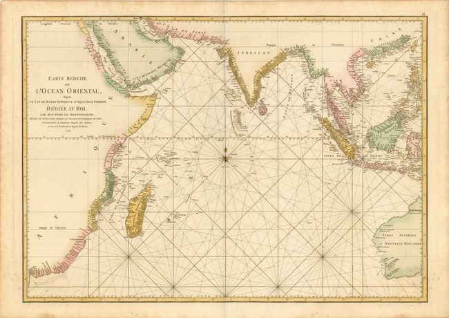
Subject: Indian Ocean

Period: 1775 (dated)

Publication: Le Neptune Oriental

Color: Hand Color

Size:
27.8 x 19.8 inches
70.6 x 50.3 cm
Download High Resolution Image
(or just click on image to launch the Zoom viewer)

A French sailor and hydrographer, D' Après de Mannevillette (1707-1780) used new instruments to correct the latitudes measured by previous explorers. His atlas Le Neptune Oriental, first published in 1745, was considered a major achievement and an indispensable resource for navigators. This uncommon sea chart shows great detail of the coastline from Cape Good Hope in Southern Africa north to the Arabian Peninsula, east to India and south to Australia.

References:

Condition: B+

Printed on heavy watermarked paper with a few light spots and stains primarily in the blank margins. Remnants of hinge tape on verso.

Estimate: $475 - $550

Sold for: $350

Closed on 5/23/2012

Archived