Catalog Archive
Auction 140, Lot 749
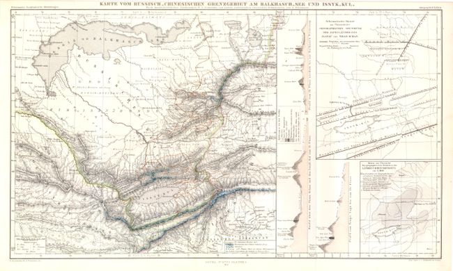
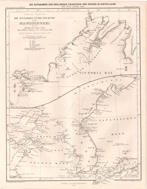
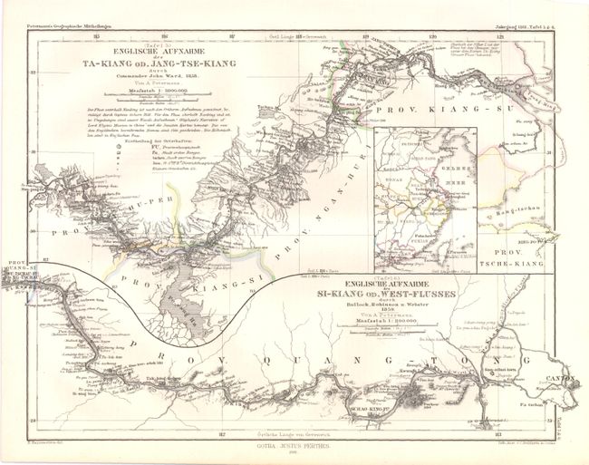
"[Lot of 3] Karte Vom Russisch_Chinesischen Grenzgebiet Am Balkhasch_See Und Issyk_Kul [and] Die Aufnahmen An Der Sud Kuste Der Mandschurei… [and] Englische Aufnahme Des Ta-Kiang od. Jang-Tse-Kiang…", Perthes, Justus
1 of 3
Subject: Eastern Asia
Period: 1858-61 (dated)
Publication:
Color:
Size:
See Description
Download High Resolution Image
(or just click on image to launch the Zoom viewer)
(or just click on image to launch the Zoom viewer)