Catalog Archive
Auction 140, Lot 605

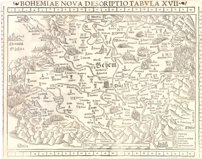
"Bohemiae Nova Descriptio Tabula XVII", Munster, Sebastian
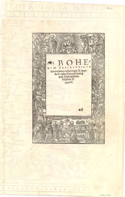
Subject: Czech Republic

Period: 1552 (circa)

Publication: Geographia

Color: Black & White

Size:
14.8 x 11.8 inches
37.6 x 30 cm
Download High Resolution Image
(or just click on image to launch the Zoom viewer)

This woodcut map of Bohemia is oriented with north to the bottom. Prague is shown near the center of the map. The exaggerated mountains and forests are typical of the early woodblock maps. This is an early map to show the encroachment of the Ottoman Empire into Europe. A table describing map symbols, including Hussite and Papal villages, is at the lower right. Latin text on verso marked page 46.

References:

Condition: B

The right and left hand coordinate scales are partially trimmed with a small repair at the upper centerfold. Minor creasing along the centerfold.

Estimate: $200 - $300

Sold for: $150

Closed on 5/23/2012

Archived