Catalog Archive
Auction 140, Lot 546

"Alsatia Superior", Mercator/Hondius

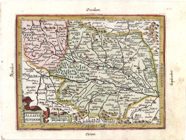
Subject: Eastern France and Northern Switzerland

Period: 1607 (published)

Publication: Atlas Minor

Color: Hand Color

Size:
7 x 5.5 inches
17.8 x 14 cm
Download High Resolution Image
(or just click on image to launch the Zoom viewer)

Finely engraved map of the Alsace region and the course of the Rhine River from Basel to Strasburg. North is oriented to the right, and a strapwork cartouche incorporating the distance scale adorns the map. This is from the first edition, with Latin text on verso.

References:

Condition: B+

There are two tiny spots in the image, a printer's crease in the title cartouche, and marginal soiling. Manuscript page number and cardinal directions in blank margins.

Estimate: $80 - $100

Sold for: $60

Closed on 5/23/2012

Archived