Catalog Archive
Auction 140, Lot 526

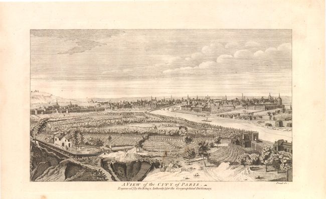
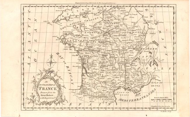
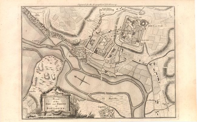
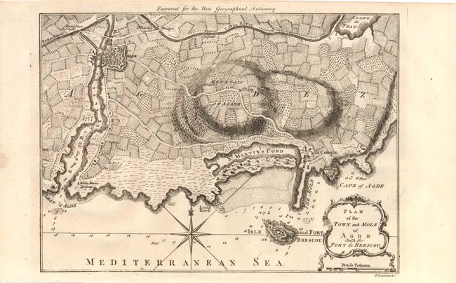
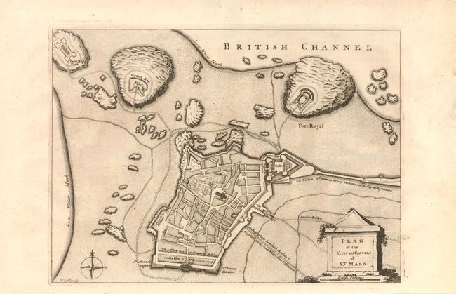
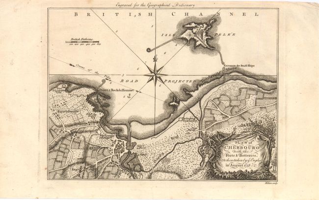
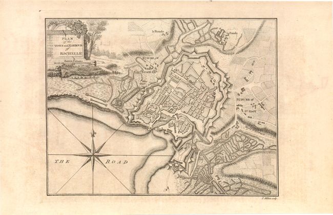
"[Lot of 8 - France]",

Subject: France

Period: 1760 (circa)

Publication: New Geographical Dictionary

Color: Black & White

Size:
See Description
Download High Resolution Image
(or just click on image to launch the Zoom viewer)

This lot of eight from John Barrow's Geographical Dictionary includes a city view of Paris, forts and defensive positions, and a general map of France:

A. A View of the City of Paris, (11 x 6.5"). This is a lovely panoramic view of the city of Paris along the Seine River. Condition: There are a few spots with faint show-through of pencil marks on verso. (B+)

B. An Accurate Map of France Drawn from the Sieur Robert with Improvements, (11.3 x 7.8"). Condition: (A)

C. Plan of the Town and Harbour of Boulogne, (10.7 x 7.8"). Condition: (A)

D. Plan of Dieppe with the New Fortifications and Projected Works, (12" x 8"). Condition: There are a few small stains at lower right. (B+)

E. Plan of the Town and Mole of Agde with the Fort de Brescou, (10.7 x 7.8"). Condition: There are some drawings on verso that do not show through. (A)

F. Plan of the City and Castles of St. Malo, (10.3 x 7.5"). Condition: (A)

G. Plan of Cherbourg with the Forts & Batteries When Taken by YC English in August 1758, (9.7 x 10.3"). Condition: (A)

H. Plan of the Town and Harbour of Rochelle, (9.5 x 7.3"). Condition: There is some light staining and some drawings on verso that do not show through. (B+)

References:

Condition:

See descriptions.

Estimate: $200 - $250

Sold for: $100

Closed on 5/23/2012

Archived