Catalog Archive
Auction 140, Lot 505

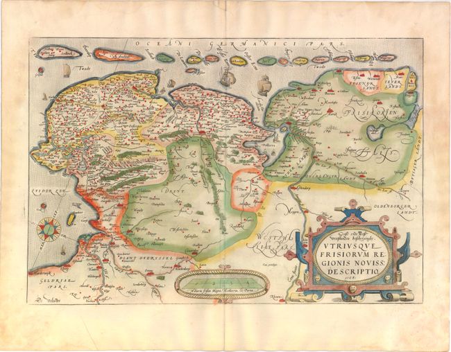
"Oost ende West Vrieslandts Beschrijvinghe. Utriusque Frisiorum Regionis Noviss Description", Ortelius, Abraham
Subject: Netherlands

Period: 1568 (dated)

Publication: Theatrum Orbis Terrarum

Color: Hand Color

Size:
20 x 13.3 inches
50.8 x 33.8 cm
Download High Resolution Image
(or just click on image to launch the Zoom viewer)

Handsome map of the northern part of the Netherlands, today's provinces of Friesland, Groningen, Drenthe and part of Overijssel and Gelderland. Also shown is the adjacent part of Germany. To the north is the Waddenzee, with its string of offshore islands, decorated with several sailing ships. Large compass rose, distance scale and strapwork title cartouche adorn the map. First state with Dutch text on verso.

References: Van den Broecke #80.1

Condition: B+

Lovely old color on watermarked paper with light damp stains in blank margins, barely entering map at corners. There is a small edge tear near the upper centerfold that has been repaired on verso with old paper. French manuscript writing on verso opposing the Dutch text.

Estimate: $350 - $425

Sold for: $275

Closed on 5/23/2012

Archived