Catalog Archive
Auction 140, Lot 49

"De Noord Pool waar in Aangetoont Werd alle de Nieuwe Landen tot op Heeden toe Ondekt [on sheet with] De Eilanden van Sangir Sjauw en Pangasare", Keizer/De Lat
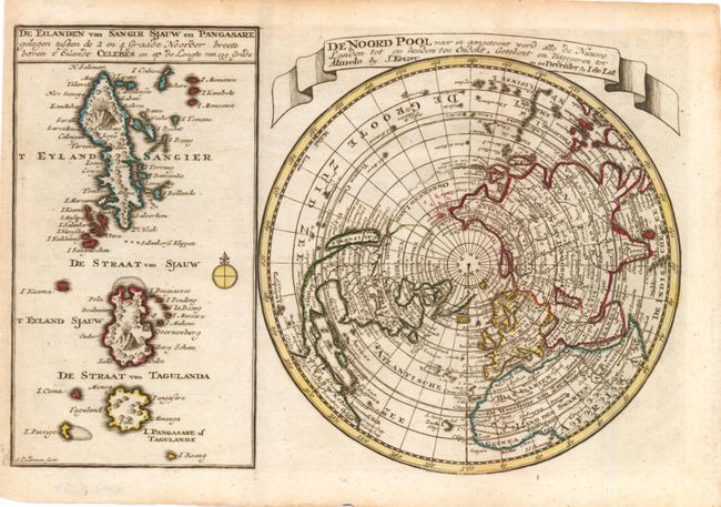
Subject: North Pole

Period: 1747 (published)

Publication: Atlas Portatif

Color: Hand Color

Size:
10.8 x 7 inches
27.4 x 17.8 cm
Download High Resolution Image
(or just click on image to launch the Zoom viewer)

An interesting Dutch map that includes a map of the North Pole featuring the island of California with a narrow isthmus near the center of its eastern coast, and a faint coastline labeled, Onbekend Land, nearly connecting Asia and North America. A second map that takes up nearly a third of the sheet covers the volcanic islands of the Sangihe Archipelago in Indonesia.

References: McLaughlin #231.

Condition: B+

Issued folding, now pressed, with a few errant spots of color in the north Pacific.

Estimate: $160 - $200

Sold for: $120

Closed on 5/23/2012

Archived