Catalog Archive
Auction 140, Lot 487
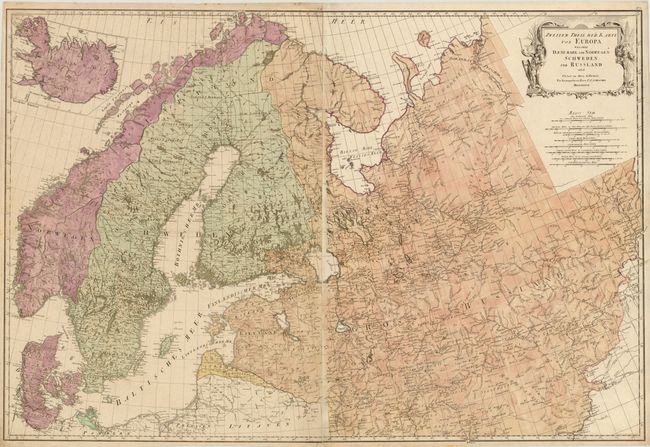
"Zweiter Theil der Karte von Europa Welcher Daenemark, und Norwegen, Schweden, und Russland Enthaelt", Schraembl, Franz Anton
Subject: Northern Europe
Period: 1787 (dated)
Publication: Allgemeiner Grosser Atlass
Color: Hand Color
Size:
39.8 x 26.8 inches
101.1 x 68.1 cm
Download High Resolution Image
(or just click on image to launch the Zoom viewer)
(or just click on image to launch the Zoom viewer)