Catalog Archive
Auction 140, Lot 220

"Map of San Bernardino County Cal.",

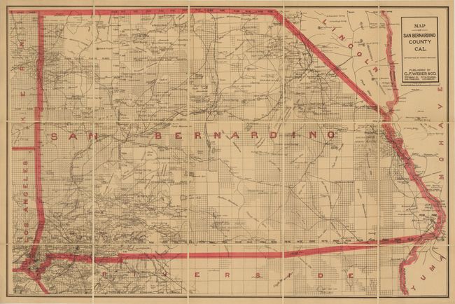
Subject: San Bernardino, California

Period: 1914 (dated)

Publication:

Color: Printed Color

Size:
39 x 25.5 inches
99.1 x 64.8 cm
Download High Resolution Image
(or just click on image to launch the Zoom viewer)

This detailed map of San Bernardino county and vicinity covers the area from Riverside east to Needles and Mohave City. It shows a number of mining districts in the county including Twenty Nine Palms, Trojan, Solo and the Sacramento mining district. Cities, towns, roads and railroads are also displayed. Dissected and backed with linen. Published by C.F. Weber.

References:

Condition: A

The map is lightly toned, else fine.

Estimate: $140 - $170

Sold for: $120

Closed on 5/23/2012

Archived