Catalog Archive
Auction 140, Lot 145
"Stati-Uniti",
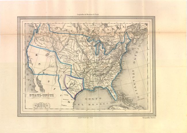
Subject: United States and Texas
Period: 1850 (circa)
Publication: Geografia Storica
Color: Hand Color
Size:
12 x 8.8 inches
30.5 x 22.4 cm
Download High Resolution Image
(or just click on image to launch the Zoom viewer)
(or just click on image to launch the Zoom viewer)