Catalog Archive
Auction 140, Lot 135

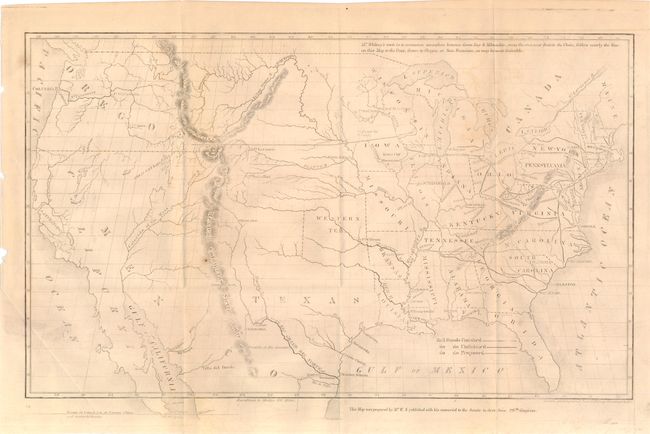
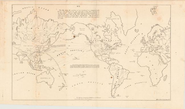
"[Map of Proposed Routes of Western Railroads]", Whitney, Asa

Subject: United States

Period: 1848 (dated)

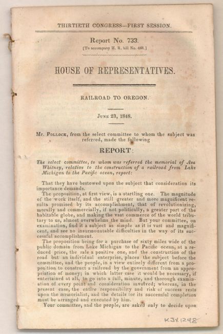
Publication: Report No. 733, 30th Congress, 1st Session

Color: Black & White

Size:
15.5 x 9.6 inches
39.4 x 24.4 cm
Download High Resolution Image
(or just click on image to launch the Zoom viewer)

This important map of the United States shows the existing (finished and unfinished) railroads in the eastern states with a proposed railroad shown beginning at Prairie du Chin and stretching toward the Pacific through South Pass. There is also an unusual railroad stretching from Memphis to Guaymas with a connector reaching to Matagorda. This is named as Mill's Road. Robert Mills proposed linking the two coasts by rail as early as 1819 and was among the project's most ardent supporters. The map portrays the United States prior to the acquisition of California and the Southwest, with a large Oregon Territory and a large Texas. The map, engraved by O.H. Throop, was issued for Whitney's report to the 30th Congress in 1848, which is included with the map. The report is "Report No. 733 (To accompany H.R. bill No. 468.) House of Representatives. Railroad to Oregon. June 23, 1848." The complete report includes the second Whitney map, an untitled world map " (20.7 x 12.5") prepared by Mr. Whitney for Mr. Breese's report to the Senate." This map shows the United States at the center with Whitney's railroad connecting to sailing routes throughout the world, making us "the centre and thoroughfare" to the 950,000,000 people of the world. 8vo, 77pp, 2 folding maps. Uncommon to find the report and maps together. Asa Whitney was one of the earliest backers of an American Transcontinental Railway. It was as early as 1830 that Whitney first became enthralled with railroads and foresaw their future role in business and transport. Whitney's proposed route from Lake Michigan through South Pass to the Pacific was not accepted mainly because of the growing sectionalism before the Civil War. However, the map is an important part of the railroad history of the United States.

References:

Condition: B

Maps are issued folding. The U.S. map is lightly toned with a hint of offsetting, a few minor spots, and an extraneous crease at lower left. The world map has some scattered foxing and an extraneous crease at lower left. The report has light scattered foxing.

Estimate: $200 - $300

Sold for: $250

Closed on 5/23/2012

Archived