Catalog Archive
Auction 140, Lot 105

"Parte Orientale del Canada, Nuova Scozia Settentrionale, e Parte di Labrador", Zatta, Antonio

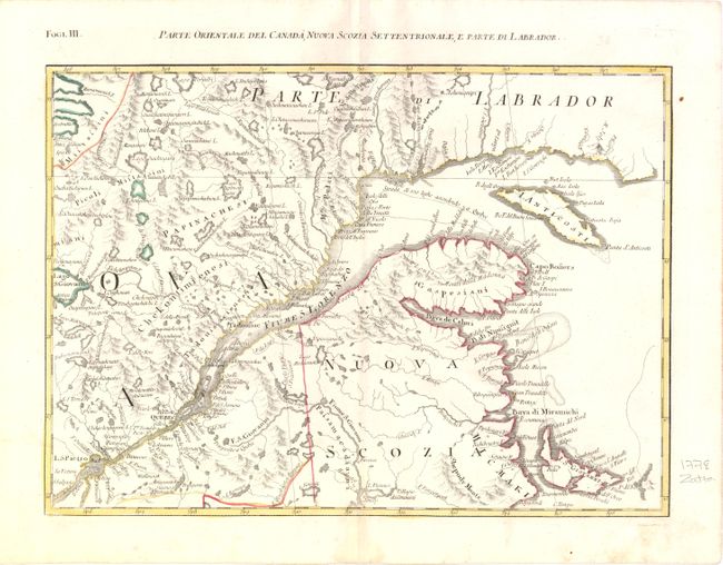
Subject: Eastern Canada

Period: 1778 (published)

Publication: Atlante Novissimo

Color: Hand Color

Size:
17 x 13 inches
43.2 x 33 cm
Download High Resolution Image
(or just click on image to launch the Zoom viewer)

This map is one sheet of the Italian version of Mitchell's seminal map of the British Dominions in North America that Zatta issued in 12 sections with the whole titled "Le Colonie Unite dell' America Settentrle." The map covers part of New Brunswick, Anticosti Island and the St. Lawrence River, and depicts the navigational route from the Gulf of St. Lawrence to Quebec.

References: Kershaw #1012.

Condition: A

Wide margins with marginal soiling and a faint damp stain in bottom blank margin that just enters map border.

Estimate: $230 - $300

Sold for: $140

Closed on 5/23/2012

Archived