Catalog Archive
Auction 139, Lot 756

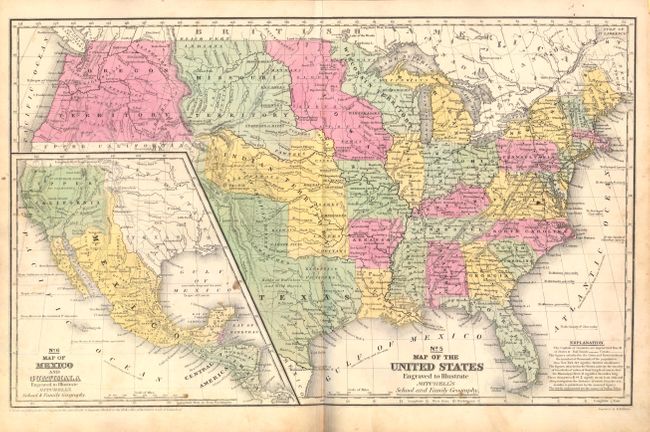
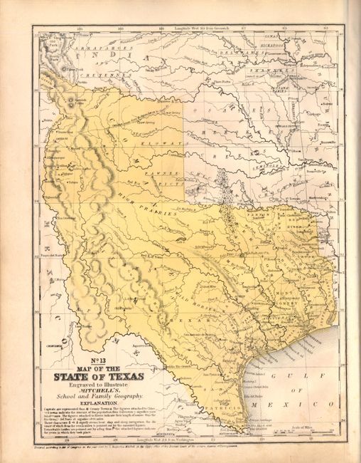
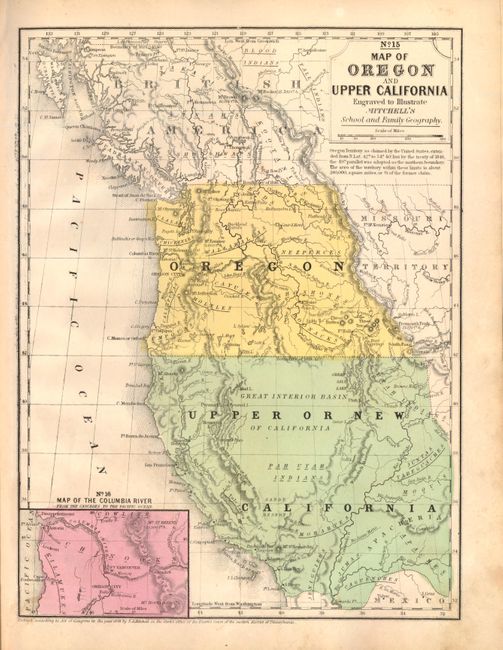
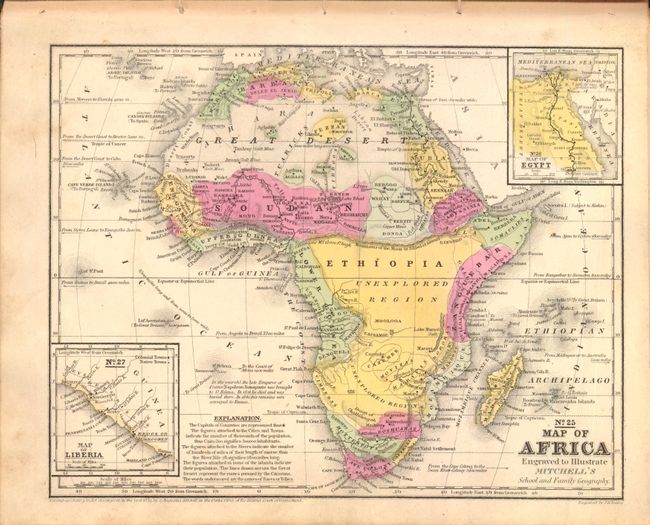
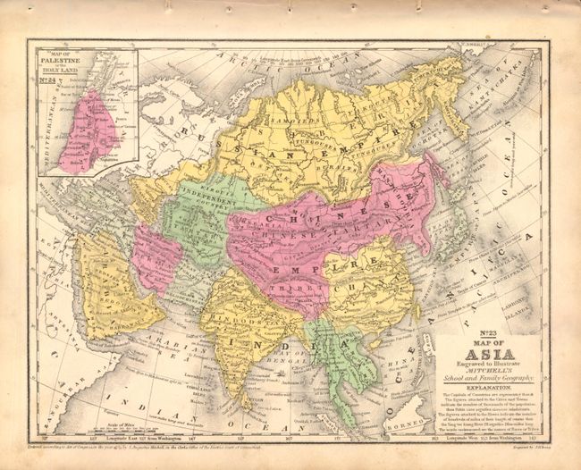
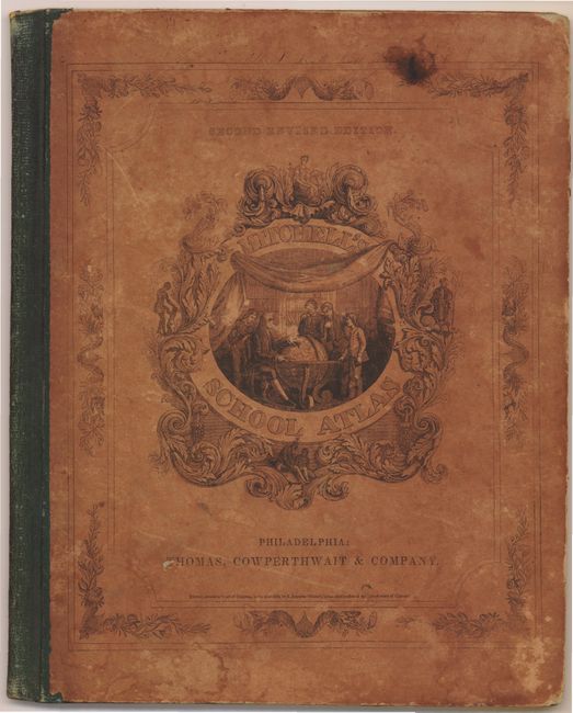
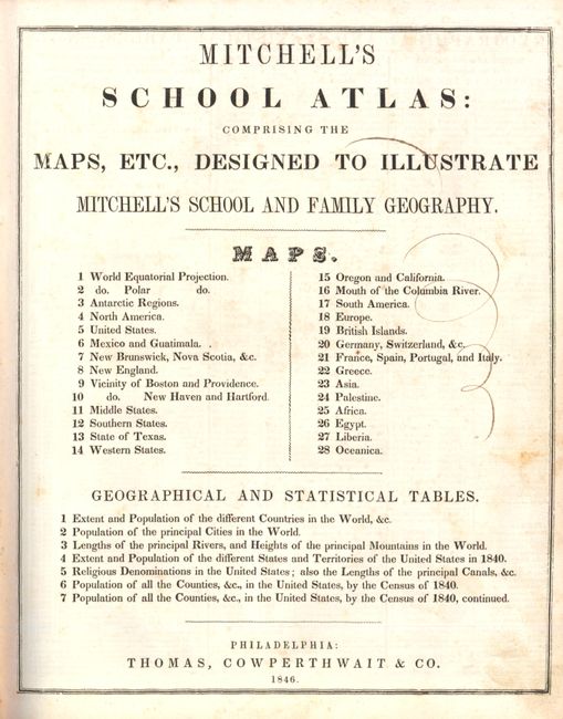
"Mitchell's School Atlas: Comprising the Maps, Etc., Designed to Illustrate Mitchell's School and Family Geography…", Thomas, Cowperthwait & Co.

Subject: Atlases

Period: 1846 (published)

Publication:

Color: Hand Color

Size:
9.8 x 12 inches
24.9 x 30.5 cm
Download High Resolution Image
(or just click on image to launch the Zoom viewer)

A nice example of Mitchell's famous school atlas complete with 28 maps, many double-page, along with tables and statistics. Most of the maps are dated 1839 except the Texas and Western States maps are dated 1846 and show Texas immediately following annexation. Texas is shown in its largest configuration with the stove-pipe panhandle continuing through the Green Mountains in present-day Colorado. The double-page map of the United States features the large Oregon Territory filling the Northwest, shows Mexico in control of the Southwest and locates a large area in Texas labeled "Herds of Buffaloes and Wild Horses." Hardbound with pictorial paper over boards. This is the second revised edition, published by Thomas, Cowperthwait & Co.

References:

Condition: B+

Maps have original color and range in condition from very good to good, with light toning and foxing and a few scattered stains There are a few pencil and old ink marks on text pages. Covers are stained and worn with bumped corners.

Estimate: $400 - $500

Sold for: $300

Closed on 2/15/2012

Archived