Catalog Archive
Auction 139, Lot 686

"Tab. III. Africae, in qua Cyrenaica, Marmarica, ac Lybia Exterior", Ptolemy/Mercator

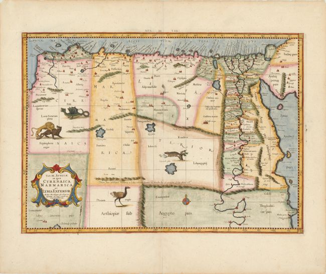
Subject: Northern Africa

Period: 1730 (circa)

Publication: Claudii Ptolemaei's Atlas Tabulae geographicae Orbis Terrarum

Color: Hand Color

Size:
18.5 x 13.3 inches
47 x 33.8 cm
Download High Resolution Image
(or just click on image to launch the Zoom viewer)

Great Ptolemaic map of eastern Libya and Egypt with numerous ancient place names, particularly along the course of the Nile. The interior is filled with fanciful animals and monsters including a superb dragon. Mercator originally published this map in his 1578 edition of Ptolemy's great Geography. Although he is most renowned today for the projection he popularized and for first using the term Atlas for a collection of maps, he devoted much of his life to his Ptolemaic maps. The maps were beautifully engraved as nearly as possible to their original form and embellished with fine cartouches. There is evidence of a plate crack near the cartouche.

References: Mickwitz & Miekkavaara (Nordenskiold) #235-4.

Condition: B+

There is a very small paper flaw near the centerfold that resulted in a tiny hole, which is only visible when held to the light.

Estimate: $250 - $325

Sold for: $210

Closed on 2/15/2012

Archived